Congo Gulch
Granite, Oregon · 4,948 ft · In Umatilla National Forest
Photos: USFS
Wildfire 9.2 mi E: McCully, 13,604 acres, 91% contained
At a glance
4 of 8 facts known · recreation.gov, checked Sep 24, 2026
- Elevation
- 4,948 ft (1,508 m)4,948 ft1,508 m
Sites1
Congo Gulch lists no loops, so its sites are listed here. Pick a site to see its details.
All 1 shown · by site number
From recreation.gov's site list, Oct 10, 2026.
Amenities
From Recreation.gov, Recreation.gov — campground rate cards · Correct
- Showers
- Toilets
From Recreation.gov, Recreation.gov — campground rate cards
You could be the first camper hereYou could be the first camper on this page
Stayed here? Share what the next camper should know.
Free account · no email needed to browse
About
Overview
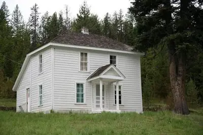
Congo Gulch is an old Forest Service cabin that allows guests to relax in the outdoors and step back in time to when the cabin was used during bygone gold mining days. It is part of the Fremont Powerhouse complex, a hub for mining built in the early 1900s. As one of four cabins located at the site, the cabin offers flexibility for large groups. Guests can rent all cabins and also pitch tents in the grassy yard.
The surrounding valleys once teemed with mining activity, primarily gold. The Fremont Powerhouse was built in 1908 as an economical method for mining. Two dams were constructed at Olive Lake, and water from the lake was piped through an 8-mile wood and steel pipeline to the powerhouse to generate electricity. Homes were constructed to shelter workers who monitored the pipeline. Today, these same shelters are available as recreational rentals.
From Recreation.gov and Recreation.gov — campground rate cards · · Edit
Cell service
Report signalFCC map: no coverage reported
- VerizonNo coverage on FCC map
- AT&TNo coverage on FCC map
- T-MobileNo coverage on FCC map
Cell service at Congo Gulch: FCC map Dec 2025
Weather
National Weather Service
- TueSunny, 2% chance of rain53°34°
- WedSunny58°36°
- ThuSunny63°41°
- FriSunny63°40°
- SatSunny64°38°
Nearby camping
SeeSee all on the mapFremont Congo Gulch Cabin
Other · under 100 ft · Granite
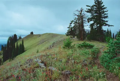
Hilltop Hideaway - Umatilla NF (OR)
Public Land · 140 ft · Granite
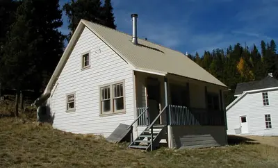
Miners Retreat
Public Land · 160 ft · Granite
3 more within 25 mi
Dispersed camping nearby
Free dispersed camping within 19 mi, on public land.
Location and contact
Data from Recreation Information Database (RIDB) / Recreation.gov, Recreation.gov — campground rate cards
Something wrong here? Suggest an edit
Run this campground? Claim the listing