Cochise Stronghold Campground
Sunsites, Arizona · 4,928 ft
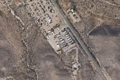
Aerial view · USGS / USDA NAIP · Public domain · source
Photos taken nearby
From Wikimedia Commons, taken close to this campground — not necessarily pictures of it.
At a glance
3 of 8 facts known · Forest Service data, checked Oct 3, 2026
- Elevation
- 4,928 ft (1,502 m)4,928 ft1,502 m
- Land
- Coronado National Forest
U.S. Forest Service
Amenities
You could be the first camper hereYou could be the first camper on this page
Stayed here? Share what the next camper should know.
Free account · no email needed to browse
About
The Cochise Stronghold Campground is tucked among a grove of oaks at 5,000 ft. Enjoy access to the Nature Trail, History Trail, and Cochise Trail. There are 11 individual sites for up to 10 people and 2 vehicles and 2 group sites for up to 20 people. Trailers limited to 16 ft. No hookups. No drinking water. Pay on site with cash or check. Closed June through August.
Fees: Overnight Use:
From OpenStreetMap, USDA Forest Service — Recreation Opportunities, and USFS INFRA Recreation Sites · · Edit
Cell service
Report signal- Verizon4G LTE
- AT&TNo coverage on FCC map
- T-MobileNo coverage on FCC map
Cell service at Cochise Stronghold Campground: FCC map Dec 2025
Weather
National Weather Service
- WedSunny72°45°
- ThuSunny75°53°
- FriAreas Of Blowing Dust, 12% chance of rain62°44°
- SatChance Rain Showers, 40% chance of rain62°44°
- SunSunny, 12% chance of rain70°50°
Nearby camping
SeeSee all on the map
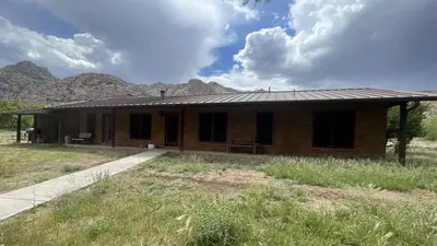
Shaw House
Public Land · 0.7 mi · Sunsites
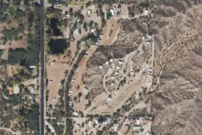
Half Moon Ranch
Public Land · 1.8 mi · Dragoon
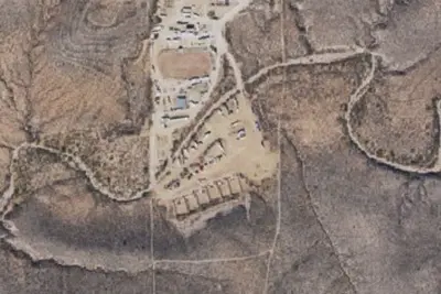
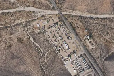
The Lakes at Saint David
RV Park · 15 mi · St. David
3 more within 25 mi
Location and contact
Data from OpenStreetMap, USDA Forest Service — Recreation Opportunities, USFS INFRA Recreation Sites
Something wrong here? Suggest an edit
Run this campground? Claim the listing