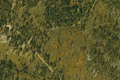
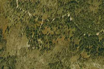
Clark Peak Corrals
Pima, Arizona · 9,006 ft
Photos: USGS / USDA NAIP
At a glance
3 of 8 facts known · Forest Service data, checked Oct 3, 2026
- Elevation
- 9,006 ft (2,745 m)9,006 ft2,745 m
- Land
- Coronado National Forest
U.S. Forest Service
Amenities
You could be the first camper hereYou could be the first camper on this page
Stayed here? Share what the next camper should know.
Free account · no email needed to browse
About
Clark Peak Corrals Dispersed Camping, located close to 9,000 feet in mixed-conifer forest, is the last dispersed camping area at the end of National Forest Service (NFS) Road 803 beyond the Swift Trail. It is 34.5 miles from Swift Trail Junction at the intersection of AZ 366/Swift Trail and US 191. This area has two established dispersed campsites and public corrals. There are no restrooms or trash cans. Please be prepared to pack out all your waste. Refer to our Dispersed Camping page for more information and dispersed camping best practices. This area serves primarily as a trailhead for the surrounding area. Vehicles (including trailers) longer than 22 feet are not recommended because of the difficulty of negotiating the switchbacks on AZ 366. This trailhead is not accessible from November 15 to April 15 when the Swift Trail is closed for the winter. Early or late snow may extend the inaccessible season.
Fees: No fees are required for this site
From OpenStreetMap and USFS INFRA Recreation Sites · Edit
Cell service
Report signal- VerizonNo coverage on FCC map
- AT&T4G LTE
- T-Mobile5G · 4G LTE
Cell service at Clark Peak Corrals: FCC map Dec 2025
Weather
National Weather Service
- WedSunny, 1% chance of rain53°39°
- ThuSunny56°44°
- FriMostly Sunny, 12% chance of rain46°37°
- SatChance Rain Showers, 38% chance of rain42°38°
- SunMostly Sunny, 6% chance of rain52°45°
Nearby camping
SeeSee all on the map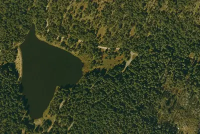
Riggs Flat Campground
Public Land · 1.0 mi · Thatcher
Riggs Lake
Public Land · 1.0 mi · Thatcher
Soldier Creek Campground
Public Land · 3.5 mi · Thatcher
3 more within 25 mi
4 OpenStreetMap entries in Pima share one park. They may be individual sites of a single campground. Suggest a merge
Location and contact
Data from OpenStreetMap, USFS INFRA Recreation Sites
Something wrong here? Suggest an edit
Run this campground? Claim the listing