Circle X Ranch Group Campground
Lake Sherwood, California · 1,585 ft · In Santa Monica Mountains National Recreation Area
Wildfire 45 mi N: Danny, 150 acres, 96% contained
At a glance
6 of 8 facts known · recreation.gov, checked Oct 3, 2026
- Elevation
- 1,585 ft (483 m)1,585 ft483 m
Sites1
Circle X Ranch Group Campground lists no loops, so its sites are listed here. Pick a site to see its details.
All 1 shown · by site number
From recreation.gov's site list, Oct 10, 2026.
Other campgrounds in Santa Monica Mountains National Recreation Area 4
Nearest first. Every place inside the park's boundary.
- Camp BloomfieldCampground · facts not yet known2.5 mi
- Decker Canyon CampCampground · facts not yet known3.7 mi
- Camp SummertimeCampground · facts not yet known6.9 mi
- Malibu Beach RV Parkpartial hookups13 mi
Camped at Camp Bloomfield or Decker Canyon Camp?
Add sites, hookups and season so the next camper can choose the right loop.
Amenities
You could be the first camper hereYou could be the first camper on this page
Stayed here? Share what the next camper should know.
Free account · no email needed to browse
About
Overview
Circle X Ranch Group Campground is closed until further notice. There is no estimated re-opening date.
Are you searching for a weekend getaway with mountain overlooks and sunny, sandy beaches? Your vacation destination may be a short drive from Los Angeles, California! Santa Monica Mountains National Recreation Area offers many opportunities to shake off the stresses of city life and immerse yourself in the beauty of nature.
From National Park Service — campgrounds, OpenStreetMap, Recreation.gov, and Recreation.gov — campground rate cards · · Edit
Cell service
Report signalFCC map: no coverage reported
- VerizonNo coverage on FCC map
- AT&TNo coverage on FCC map
- T-MobileNo coverage on FCC map
Cell service at Circle X Ranch Group Campground: FCC map Dec 2025
Weather
National Weather Service
- TueSunny69°55°
- WedSunny75°64°
- ThuSunny87°79°
- FriSunny90°73°
- SatSunny86°67°
Nearby camping
SeeSee all on the mapOutside the park, nearest first.
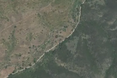
Sycamore Group Multi-Use Area
Campground · 3.2 mi · Thousand Oaks
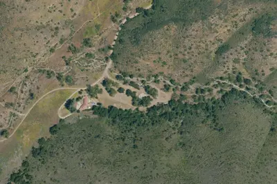
Danielson Group Multi-Use Campground
Campground · 3.4 mi · Thousand Oaks
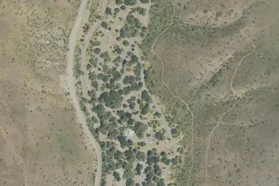
Camp site
Campground · 4.1 mi · Malibu
3 more within 25 mi
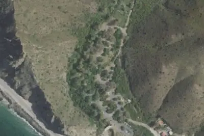
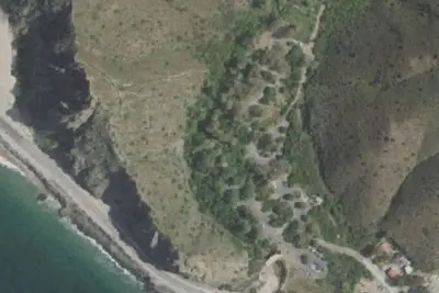
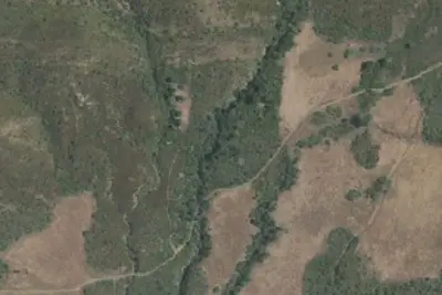
Dispersed camping nearby
Free dispersed camping within 19 mi, on public land.
Location and contact
Data from National Park Service — campgrounds (NPS Data API), OpenStreetMap, Recreation Information Database (RIDB) / Recreation.gov, Recreation.gov — campground rate cards
Something wrong here? Suggest an edit
Run this campground? Claim the listing