Charles Waters Campground
Florence, Montana · 3,691 ft · In Bitterroot National Forest
U.S. Forest Service · Public domain · source
Wildfire 29 mi SE: Black Bear, 2,126 acres, 80% contained
At a glance
3 of 8 facts known · Forest Service data, checked Oct 3, 2026
- Elevation
- 3,691 ft (1,125 m)3,691 ft1,125 m
- Land
- Bitterroot National Forest
U.S. Forest Service
Amenities
From OpenStreetMap, Overture Maps Foundation — Places, Recreation.gov, USDA Forest Service — Recreation Opportunities, USFS INFRA Recreation Sites · Correct
- Caravan / RV sites
- Tent sites
From OpenStreetMap, Overture Maps Foundation — Places, Recreation.gov, USDA Forest Service — Recreation Opportunities, USFS INFRA Recreation Sites
You could be the first camper hereYou could be the first camper on this page
Stayed here? Share what the next camper should know.
Free account · no email needed to browse
About
The Charles Waters campground is paved asphalt with 26 campsites plus one double site, including 4 pull-through, one bicycle site, and one horse site; there is also one accessible site with electric hook-up. The campground also has water; accessible vault toilets; open meadow for activities and can accommodate RV's or trailers to 70 feet. Please note that the bicycle site and horse site are reserved for those users until 6 p.m. daily after which time if no one is occupying them then they are considered available on a first come first served basis. A campground host is available Memorial Day through Labor Day.
Also associated with the Charles Waters Campground is the Bass Creek Recreation Area. This recreation area includes four picnic sites; an interpretive nature trail; fire ecology trail and numerous trailheads to hiking, biking and stock routes with access to the Selway-Bitterroot Wilderness. The Larry Creek Group Site is located within the Bass Creek Recreation Area, this large overnight group site is available for reservation through Recreation.gov. The gate will close to the Larry Creek Group Site on Dec. 1.
From OpenStreetMap, Overture Maps Foundation — Places, Recreation.gov, USDA Forest Service — Recreation Opportunities, and USFS INFRA Recreation Sites · · Edit
Cell service
Report signal- Verizon4G LTE
- AT&T4G LTE
- T-MobileNo coverage on FCC map
Cell service at Charles Waters Campground: FCC map Dec 2025
Weather
National Weather Service
- WedMostly Sunny, 2% chance of rain54°35°
- ThuSunny56°40°
- FriSunny64°43°
- SatMostly Sunny64°38°
- SunSunny, 2% chance of rain57°42°
Nearby camping
SeeSee all on the map
Camp site
Campground · 1.0 mi · Florence
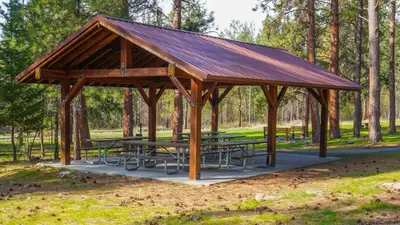
Larry Creek Group Camp
Public Land · 1.0 mi · Florence
Lucky Lil's Casino
Overnight Parking · 3.4 mi · Stevensville
3 more within 25 mi
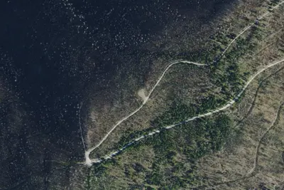
Dispersed camping nearby
Free dispersed camping within 19 mi, on public land.
Location and contact
Data from OpenStreetMap, Overture Maps Foundation — Places, Recreation Information Database (RIDB) / Recreation.gov, USDA Forest Service — Recreation Opportunities, USFS INFRA Recreation Sites
Something wrong here? Suggest an edit
Run this campground? Claim the listing