Cedar Point Campground
Cedar Point, North Carolina · 16 ft · In National Forests in North Carolina
Photos: Michele Kelly
At a glance
7 of 8 facts known · recreation.gov, checked Oct 3, 2026
- Elevation
- 16 ft (5 m)16 ft5 m
Sites38
Cedar Point Campground lists no loops, so its sites are listed here. Pick a site to see its details.
- 001Standard · accessible · up to 8 people65 ft
- 002Standard · accessible · up to 8 people65 ft
- 003Standard · accessible · up to 8 people60 ft
- 004Standard · accessible · up to 8 people70 ft
- 005Standard · accessible · up to 8 people70 ft
- 006Standard · accessible · up to 8 people60 ft
- 007Standard · accessible · up to 8 people60 ft
- 008Standard · accessible · up to 8 people60 ft
- 009 - doubleStandard · accessible · up to 8 people70 ft
- 010Standard · accessible · up to 8 people65 ft
Showing 10 of 38 · by site number
From recreation.gov's site list, Oct 10, 2026: 2 staff entries left out.
Amenities
From OpenStreetMap, Overture Maps Foundation — Places, Recreation.gov, Recreation.gov — campground rate cards, USDA Forest Service — Recreation Opportunities, USFS INFRA Recreation Sites · Correct
- Caravan / RV sites
- Drinking water
- Dump station
- Showers
- Showers
- Tent sites
- Toilets
- Hours (24/7)
- Reservations (recommended)
From OpenStreetMap, Overture Maps Foundation — Places, Recreation.gov, Recreation.gov — campground rate cards, USDA Forest Service — Recreation Opportunities, USFS INFRA Recreation Sites
You could be the first camper hereYou could be the first camper on this page
Stayed here? Share what the next camper should know.
Free account · no email needed to browse
About
Overview
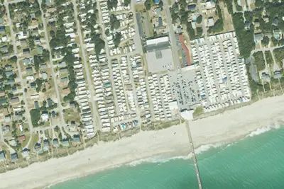
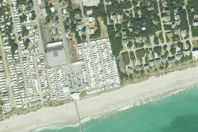
Cedar Point Campground and Recreation Area is located in eastern North Carolina at the junction of the White Oak River and the Bogue Sound, immediately adjacent to the Swansboro Inlet. It is within 1 mile of full service shopping, and within 2 miles of NC's Crystal Coast and the barrier island beach community of Bogue Banks. The campground is extremely busy and reservations are recommended but must be made 3 days in advance. Of the 36 campsites, 4 are considered first-come, first served campsites that cannot be reserved or held, so a person must physically be there with their camping equipment to purchase the campsite. Cedar Point campground has the option to use Scan & Pay system, but by the rules of recreation.gov it may only be used for first-come, first served sites. Please make sure to contact a campground host to ensure availability before paying for any campsite. Failure to check with the campground host for availability may result in the loss of your camping fee.
Recreation
Canoeing and fishing are popular options. Power boating is allowed on the White Oak River.
From OpenStreetMap, Overture Maps Foundation — Places, Recreation.gov, Recreation.gov — campground rate cards, USDA Forest Service — Recreation Opportunities, and USFS INFRA Recreation Sites · · Edit
Cell service
Report signal- Verizon5G · 4G LTE
- AT&T5G · 4G LTE
- T-Mobile5G · 4G LTE
Cell service at Cedar Point Campground: FCC map Dec 2025
Weather
National Weather Service
- TueSunny81°62°
- WedSunny, 1% chance of rain84°65°
- ThuSunny85°66°
- FriSunny, 4% chance of rain84°55°
- SatMostly Sunny, 4% chance of rain66°48°
Nearby camping
SeeSee all on the map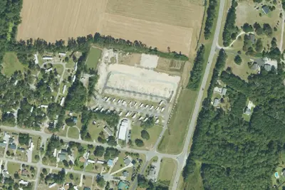
RV park
RV Park · 0.8 mi · Cedar Point
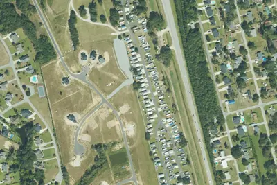
Bogue Sound RV Park
RV Park · 1.0 mi · Cedar Point
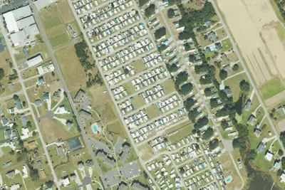
Waterway RV Resort
RV Park · 1.1 mi · Cedar Point
3 more within 25 mi
Location and contact
Data from OpenStreetMap, Overture Maps Foundation — Places, Recreation Information Database (RIDB) / Recreation.gov, Recreation.gov — campground rate cards, USDA Forest Service — Recreation Opportunities, USFS INFRA Recreation Sites
Something wrong here? Suggest an edit
Run this campground? Claim the listing