Cedar Pass Campground
Interior, South Dakota · 2,405 ft · In Badlands National Park
Photos: Nate McDaniel
At a glance
6 of 8 facts known · recreation.gov, checked Sep 24, 2026
- Elevation
- 2,405 ft (733 m)2,405 ft733 m
Loops2
Pick a loop to see its sites.
- Agate36 sites35 standard · 1 tent only · up to 60 ft
- Butte43 sites36 standard · 7 tent only · up to 65 ft
Other areas
From recreation.gov's site list, Oct 10, 2026: 17 staff entries left out. Loop names are trimmed and merged.
Other campgrounds in Badlands National Park 1
Nearest first. This park is spread out: the closest is 25 miles away.
Amenities
From National Park Service — campgrounds, OpenStreetMap, Overture Maps Foundation — Places, Recreation.gov, Recreation.gov — campground rate cards · Correct
- Caravan / RV sites
- Reservations
- Showers
- Showers
- Tent sites
From National Park Service — campgrounds, OpenStreetMap, Overture Maps Foundation — Places, Recreation.gov, Recreation.gov — campground rate cards
You could be the first camper hereYou could be the first camper on this page
Stayed here? Share what the next camper should know.
Free account · no email needed to browse
About
Overview
Surrounded by the vast, open prairie and featuring expansive views of the Badlands, Cedar Pass Campground is a great base camp from which to explore Badlands National Park. Featuring 96 sites, this seasonal campground is open from late March through mid-October, and is conveniently located within easy walking distance of Cedar Pass Lodge & Restaurant and the Ben Reifel Visitor Center.
Recreation
An evening program led by park rangers is held nightly at the Cedar Pass Amphitheater. This event runs from Memorial Day to Labor Day, beginning each evening with a half-hour educational talk about the Badlands, covering a wide array of topics that change every evening. Once the educational part of the presentation finishes, the rangers begin a guided night sky viewing program. Interesting facts and features of our night sky will be explored and pointed out for you via laser, and telescopes are often provided to view star clusters, planets, and the Milky Way.
From National Park Service — campgrounds, OpenStreetMap, Overture Maps Foundation — Places, Recreation.gov, and Recreation.gov — campground rate cards · · Edit
Cell service
Report signal- Verizon4G LTE
- AT&T4G LTE
- T-MobileNo coverage on FCC map
Cell service at Cedar Pass Campground: FCC map Dec 2025
Weather
National Weather Service
- TueSlight Chance Rain Showers, 20% chance of rain53°35°
- WedPatchy Frost then Slight Chance Light Rain, 15% chance of rain58°39°
- ThuChance Light Rain then Partly Sunny, 32% chance of rain63°31°
- FriWidespread Frost then Sunny62°39°
- SatSunny79°43°
Nearby camping
SeeSee all on the mapOutside the park, nearest first.
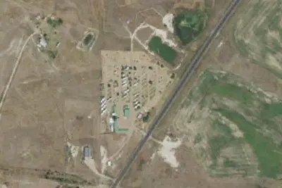
Badlands Hotel and Campground
Campground · 1.8 mi · Interior
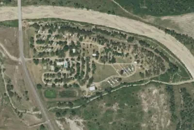
Badlands/White River KOA Holiday
RV Park · 3.8 mi · Interior
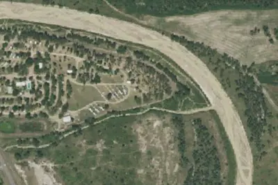
Interior, SD Site 127
Campground · 3.8 mi · Interior
3 more within 25 mi
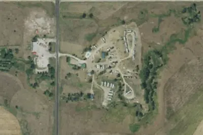
Dispersed camping nearby
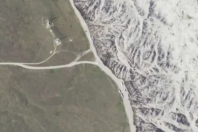
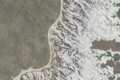
Free dispersed camping within 19 mi, on public land.
Location and contact
Data from National Park Service — campgrounds (NPS Data API), OpenStreetMap, Overture Maps Foundation — Places, Recreation Information Database (RIDB) / Recreation.gov, Recreation.gov — campground rate cards
Something wrong here? Suggest an edit
Run this campground? Claim the listing