Cataloochee Campground
Maggie Valley, North Carolina · 2,625 ft · In Great Smoky Mountains National Park
Photos: Tom Wilson
At a glance
4 of 8 facts known · recreation.gov, checked Sep 24, 2026
- Elevation
- 2,625 ft (800 m)2,625 ft800 m
Sites27
Cataloochee Campground lists no loops, so its sites are listed here. Pick a site to see its details.
- 1Standard · up to 6 people31 ft
- 2Standard · up to 6 people25 ft
- 3Standard · up to 6 people24 ft
- 4Standard · up to 6 people32 ft
- 5Standard · up to 6 people32 ft
- 6Standard · up to 6 people32 ft
- 7Standard · up to 6 people34 ft
- 8Standard · up to 6 people32 ft
- 9Standard · up to 6 people28 ft
- 10Standard · up to 6 people33 ft
Showing 10 of 27 · by site number
From recreation.gov's site list, Oct 10, 2026.
Other campgrounds in Great Smoky Mountains National Park 18
Nearest first. Every place inside the park's boundary.
- Cataloochee Horse Camp$30 a night · Reserve on Recreation.gov1.7 mi
- Balsam Mountain Campground43 sites · $30 a night · Reserve on Recreation.gov6.7 mi
- Balsam Mt. CampgroundNational Park · facts not yet known6.7 mi
- Round Bottom Horse Camp$30 a night · Reserve on Recreation.gov7.2 mi
- Big Creek Campground12 sites · $30 a night · Reserve on Recreation.gov8.3 mi
- Big Creek Campground (Great Smoky Mountains National Park)$30 a night · Reserve on Recreation.gov8.3 mi
Also in the park: 7 group areas · 94 backcountry and High Sierra camps
Open the park pageAmenities
From National Park Service — campgrounds, OpenStreetMap, Overture Maps Foundation — Places, Recreation.gov, Recreation.gov — campground rate cards · Correct
- Campfires allowed
- Campfires allowed
- Caravan / RV sites
- Drinking water
- Reservations
- Tent sites
- Toilets
From National Park Service — campgrounds, OpenStreetMap, Overture Maps Foundation — Places, Recreation.gov, Recreation.gov — campground rate cards
You could be the first camper hereYou could be the first camper on this page
Stayed here? Share what the next camper should know.
Free account · no email needed to browse
About
Overview
Cataloochee campground is located in the historic Cataloochee Valley--a relatively remote part of Smoky Mountain National Park. The secluded setting offers visitors the ability to enjoy a multitude of recreational activities like hiking and fishing, without the crowds, which are sometimes common in other parts of the park.Recreation
The Cataloochee Valley features an extensive trail system that is less heavily used compared to other areas of the park. The two main trails, Caldwell Fork and nearby Rough Fork Trail, run mostly parallel to one another in the central portion of the valley. Either of these trails extend alongside scenic creeks and streams and support both hikers and horeseback riders.
From National Park Service — campgrounds, OpenStreetMap, Overture Maps Foundation — Places, Recreation.gov, and Recreation.gov — campground rate cards · · Edit
Cell service
Report signalFCC map: no coverage reported
- VerizonNo coverage on FCC map
- AT&TNo coverage on FCC map
- T-MobileNo coverage on FCC map
Cell service at Cataloochee Campground: FCC map Dec 2025
Weather
National Weather Service
- WedSunny82°61°
- ThuSunny, 7% chance of rain82°60°
- FriMostly Sunny then Chance Rain Showers, 51% chance of rain74°39°
- SatSunny, 2% chance of rain55°36°
- SunSunny61°40°
Nearby camping
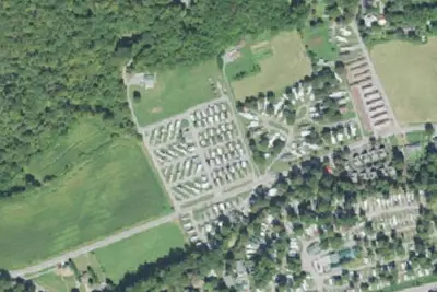
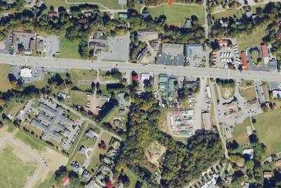
SeeSee all on the mapOutside the park, nearest first.
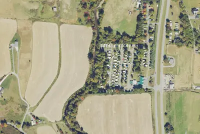
Camp site (Winngray Campground)
Campground · 6.1 mi · Maggie Valley
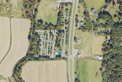
Winngray Campground
Campground · 6.1 mi · Maggie Valley
Dual Sport
Campground · 7.1 mi · Maggie Valley
3 more within 25 mi
Dispersed camping nearby
Free dispersed camping within 19 mi, on public land.
Location and contact
Data from National Park Service — campgrounds (NPS Data API), OpenStreetMap, Overture Maps Foundation — Places, Recreation Information Database (RIDB) / Recreation.gov, Recreation.gov — campground rate cards
Something wrong here? Suggest an edit
Run this campground? Claim the listing