Canyon View Group Sites
Sierra, California · 4,701 ft · In Kings Canyon National Park
Photos: John Hawn
Wildfire 19 mi SW: Land, 20 acres
At a glance
4 of 8 facts known · recreation.gov, checked Oct 3, 2026
- Elevation
- 4,701 ft (1,433 m)4,701 ft1,433 m
Loops0
Pick a loop to see its sites.
From recreation.gov's site list, Oct 10, 2026. Loop names are trimmed and merged.
Other campgrounds in Kings Canyon National Park 6
Nearest first. Every place inside the park's boundary.
- Moraine Campground (CA)121 sites · $32 a night · Reserve on Recreation.gov0.3 mi
- Sentinel Campground5 loops · Center Loop, Left Outer Loop, Right Inner Loop, Right Middle Loop, Right Outer Loop · 82 sites · $22–$32 a night · Reserve on Recreation.gov0.4 mi
- Sheep Creek Campground111 sites · $32 a night · Reserve on Recreation.gov0.9 mi
- Crystal Springs Campground (CA)35 sites · $32 a night · Reserve on Recreation.gov17 mi
- Azalea Campground2 loops · Azalea and Scan and Pay · 110 sites · $32 a night · Reserve on Recreation.gov17 mi
- Sunset Campground (Ca)2 loops · Grant Grove and Sunset Campground · 158 sites · $32 a night · Reserve on Recreation.gov17 mi
Also in the park: Group area: Canyon View Campground 120 ft · Group area: Crystal Springs Campground Mid-Sized Group Sites 17 mi · 10 backcountry and High Sierra camps · 12 single sites
Open the park pageAmenities
From National Park Service — campgrounds, Recreation.gov, Recreation.gov — campground rate cards · Correct
- Campfires allowed
From National Park Service — campgrounds, Recreation.gov, Recreation.gov — campground rate cards
You could be the first camper hereYou could be the first camper on this page
Stayed here? Share what the next camper should know.
Free account · no email needed to browse
About
Overview
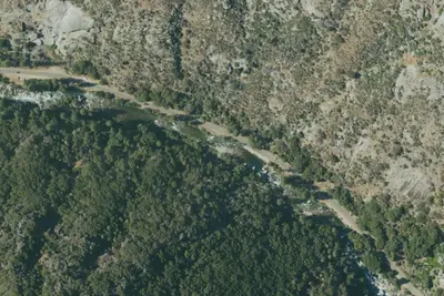
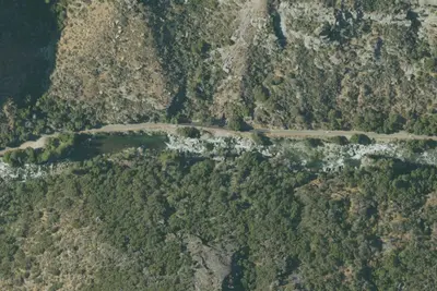
Canyon View Group sites are located in Cedar Grove, Kings Canyon National Park, California. Cedar Grove is located on the South Fork of the Kings River at an elevation of 4,600 feet. This is a TENT ONLY Group Campground. No RV's or Trailers allowed.
Recreation
Cedar Grove provides some of the best trails in Sequoia and Kings Canyon National Parks, especially near Roads End. Nearby the Kings River offers excellent trout fishing. Horseback riding is also available. Expect warm days and cool nights in the area.Facilities
From National Park Service — campgrounds, Recreation.gov, and Recreation.gov — campground rate cards · · Edit
Cell service
Report signalFCC map: no coverage reported
- VerizonNo coverage on FCC map
- AT&TNo coverage on FCC map
- T-MobileNo coverage on FCC map
Cell service at Canyon View Group Sites: FCC map Dec 2025
Weather
National Weather Service
- TueSunny65°35°
- WedSunny77°42°
- ThuSunny79°44°
- FriSunny80°42°
- SatSunny78°41°
Nearby camping
SeeSee all on the mapOutside the park, nearest first.
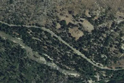
Kings River/Park Boundary
Dispersed · 2.0 mi · Wilsonia
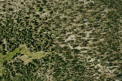
Summit Meadow/Lookout Peak
Dispersed · 3.2 mi · Wilsonia
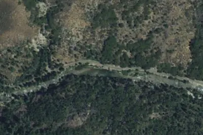
Kings River 4
Dispersed · 4.4 mi · Wilsonia
3 more within 25 mi
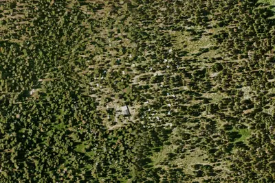
Dispersed camping nearby
Free dispersed camping within 19 mi, on public land.
- 2.0 mi
Kings River/Park Boundary
Wilsonia, CA
- 3.2 mi
Summit Meadow/Lookout Peak
Wilsonia, CA · On National Park Service land · Kings Canyon National Park
- 4.4 mi
Kings River 4
Wilsonia, CA
- 4.9 mi
Frypan Meadow Campsite
Sierra, CA · On National Park Service land · Kings Canyon National Park
- 5.1 mi
Kings River 3
Wilsonia, CA
- 5.5 mi
Camp site
Sierra, CA · On National Park Service land · Kings Canyon National Park
Location and contact
Data from National Park Service — campgrounds (NPS Data API), Recreation Information Database (RIDB) / Recreation.gov, Recreation.gov — campground rate cards
Something wrong here? Suggest an edit
Run this campground? Claim the listing