Canaveral National Seashore Permits
Oak Hill, Florida · 7 ft · In Canaveral National Seashore
Photos: Share the Experience, Joyce Dykes
At a glance
4 of 8 facts known · recreation.gov, checked Oct 3, 2026
- Elevation
- 7 ft (2 m)7 ft2 m
Loops0
Pick a loop to see its sites.
Other areas
- 01. Orange Island1 site1 boat
- 02. Homestead1 site1 boat
- 03. Shipyard1 site1 boat
- 04. Headwinds1 site1 boat
- 05. Government Cut1 site1 boat
- 06. Jones Canal1 site1 boat
- 07. Brickhouse Cove1 site1 boat
- 08. Bissette Bay1 site1 boat
- 09. Middle Dredge1 site1 boat
- 10. South Middle Dredge1 site1 boat
- 11. Scout Island1 site1 boat
- 12. South Dredge1 site1 boat
- 13. East Winds1 site1 boat
- 14. County Line1 site1 boat
From recreation.gov's site list, Oct 10, 2026. Loop names are trimmed and merged.
Other campgrounds in Canaveral National Seashore 1
Nearest first. Every place inside the park's boundary.
Camped at Middle Dredge Campsite?
Add sites, hookups and season so the next camper can choose the right loop.
Amenities
From National Park Service — campgrounds, Recreation.gov, Recreation.gov — campground rate cards · Correct
- Campfires allowed
From National Park Service — campgrounds, Recreation.gov, Recreation.gov — campground rate cards
You could be the first camper hereYou could be the first camper on this page
Stayed here? Share what the next camper should know.
Free account · no email needed to browse
About
Overview
Canaveral National Seashore is located midway along Florida's east coast where warm waters and a temperate climate meet to host species as diverse as bald eagles and alligators or bromeliads and mangroves. The national seashore was designated in 1975 to preserve and protect this special area. Visitors to the seashore will discover its rich and diverse history, from its fertile estuaries once supporting Timucuan Indian populations to the area's first orange groves in the 1830s. Today, Canaveral National Seashore offers an inviting place to relax along the shores of the Atlantic, fish in an open lagoon, enjoy a self-guided hike, watch for wildlife like the West Indian manatee or even participate in a guided sea turtle tour.
Backcountry Camping on the Islands
From National Park Service — campgrounds, Recreation.gov, and Recreation.gov — campground rate cards · · Edit
Cell service
Report signal- Verizon5G · 4G LTE
- AT&TNo coverage on FCC map
- T-MobileNo coverage on FCC map
Cell service at Canaveral National Seashore Permits: FCC map Dec 2025
Weather
National Weather Service
- TueSlight Chance Rain Showers, 16% chance of rain83°76°
- WedSlight Chance Rain Showers then Sunny, 17% chance of rain83°76°
- ThuSunny, 7% chance of rain84°76°
- FriChance Showers And Thunderstorms, 36% chance of rain84°74°
- SatShowers And Thunderstorms Likely, 62% chance of rain82°73°
Nearby camping
SeeSee all on the mapOutside the park, nearest first.
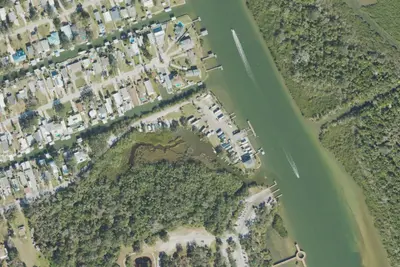
Bissit Bay Fish Camp
RV Park · 2.5 mi · Oak Hill
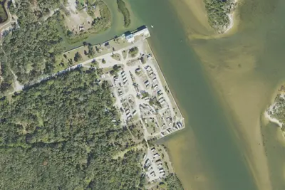
Indian Mound Fish Camp
RV Park · 2.6 mi · Oak Hill
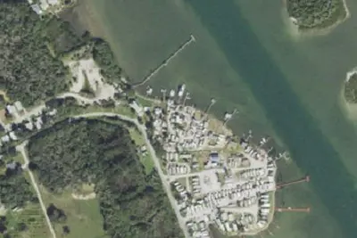
Riverwood Park Campground Inc
RV Park · 2.7 mi · Oak Hill
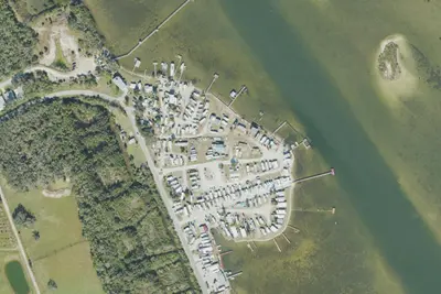
3 more within 25 mi
Location and contact
Data from National Park Service — campgrounds (NPS Data API), Recreation Information Database (RIDB) / Recreation.gov, Recreation.gov — campground rate cards
Something wrong here? Suggest an edit
Run this campground? Claim the listing