Collier-Seminole State Park
Marco Shores-Hammock Bay, Florida · 3 ft
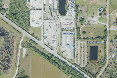
Aerial view · USGS / USDA NAIP · Public domain · source
Photos taken nearby
From Wikimedia Commons, taken close to this campground — not necessarily pictures of it.
At a glance
6 of 8 facts known · from OpenStreetMap and USGS
- Elevation
- 3 ft (1 m)3 ft1 m
Loops3
Pick a loop to see its sites.
From Florida State Parks' site list.
Amenities
From Florida State Parks, OpenStreetMap · Correct
- Pull-through sites
From Florida State Parks, OpenStreetMap
You could be the first camper hereYou could be the first camper on this page
Stayed here? Share what the next camper should know.
Free account · no email needed to browse
About
Join us for canoeing, hiking, biking or just relaxing on a weekend getaway at Collier-Seminole. Bring your family, bring your friends, bring your camping gear and don't forget the marshmallows. The 7,271-acre Collier-Seminole State Park lies partly within the great mangrove swamp of South Florida, one of the largest mangrove swamps in the world. A wide variety of wildlife, including several imperiled species, inhabits this unusual blend of temperate and tropical native plant communities. Collier-Seminole State Park features vegetation and wildlife typical of Florida's Everglades. Although rare elsewhere, the park covers one of three original stands of royal palm in Florida, co-existing with large areas of mangrove swamp. The park is the site of a National Historic Mechanical Engineering Landmark, the last existing Bay City Walking Dredge. Built in 1924, it was used to build the Tamiami Trail Highway (U.S. 41) through the Everglades and Big Cypress Swamp, linking Tampa and Miami and opening Southwest Florida to travelers. The Blackwater River originates in the park and meanders several miles through the mangroves to Blackwater Bay and the Ten Thousand Islands. The park has canoe rentals along with a boat ramp that provides access to the Blackwater River. Other trails offer opportunities for bicycling, hiking and nature observation.
From Florida State Parks and OpenStreetMap · Edit
Cell service
Report signal- Verizon5G · 4G LTE
- AT&T5G · 4G LTE
- T-MobileNo coverage on FCC map
Cell service at Collier-Seminole State Park: FCC map Dec 2025
Weather
National Weather Service
- TueSunny91°72°
- WedSunny then Slight Chance Showers And Thunderstorms, 16% chance of rain92°75°
- ThuMostly Sunny then Showers And Thunderstorms Likely, 63% chance of rain93°75°
- FriMostly Sunny then Chance Showers And Thunderstorms, 52% chance of rain91°75°
- SatShowers And Thunderstorms Likely, 69% chance of rain89°74°
Nearby camping
SeeSee all on the map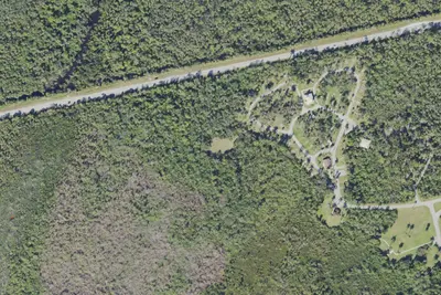
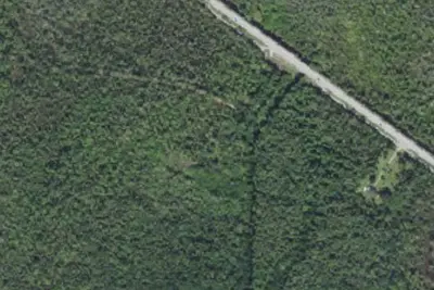
Primitive Group Camp
Campground · 0.1 mi · Marco Shores-Hammock Bay
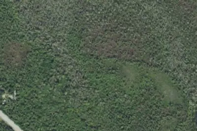
Camp site
Campground · 0.4 mi · Marco Shores-Hammock Bay
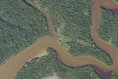
Primitive Camping
Campground · 0.5 mi · Marco Shores-Hammock Bay
3 more within 25 mi
Dispersed camping nearby
Free dispersed camping within 19 mi, on public land.
- 13 mi
Tiger Key Beach Campsite
Everglades, FL · On National Park Service land · Everglades National Park
- 14 mi
Picnic Key Campsite
Everglades, FL · On National Park Service land · Everglades National Park
- 18 mi
Jewell Key Beach Campsite
Chokoloskee, FL · On National Park Service land · Everglades National Park
Location and contact
Data from Florida State Parks (US eDirect booking system), OpenStreetMap
Something wrong here? Suggest an edit
Run this campground? Claim the listing