Camp site (Idaho Department of Fish and Game)
Smiths Ferry, Idaho · 4,993 ft
Name comes from OpenStreetMap. Know what campers call it? Suggest a name
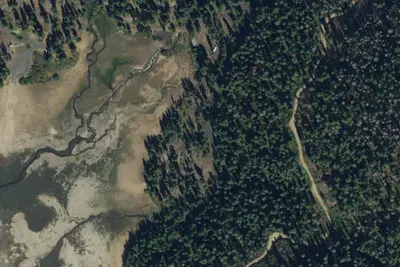
Aerial view · USGS / USDA NAIP · Public domain · source
At a glance
2 of 8 facts known · from OpenStreetMap and USGS
- Elevation
- 4,993 ft (1,522 m)4,993 ft1,522 m
- Land
- Idaho Department of Lands
State agency
Amenities
From OpenStreetMap · Correct
- Toilets
From OpenStreetMap
You could be the first camper hereYou could be the first camper on this page
Stayed here? Share what the next camper should know.
Free account · no email needed to browse
About
Foot-access camping area at Tripod Reservoir with a restroom and dock. Motor vehicles and RVs do not enter the camping area; stays are limited to 10 days in any 30-day period, and visitors must pack out waste.
From OpenStreetMap · Edit
Cell service
Report signal- Verizon4G LTE
- AT&TNo coverage on FCC map
- T-MobileNo coverage on FCC map
Cell service at Camp site (Idaho Department of Fish and Game): FCC map Dec 2025
Weather
National Weather Service
- TueWidespread Frost then Sunny58°27°
- WedWidespread Frost then Sunny62°31°
- ThuWidespread Frost then Sunny66°33°
- FriSunny69°37°
- SatSunny68°38°
Nearby camping
SeeSee all on the map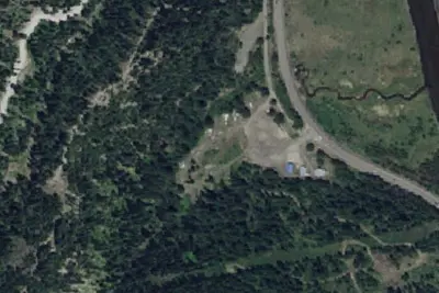
Wellington Snow Park
Public Land · 0.6 mi · Smiths Ferry
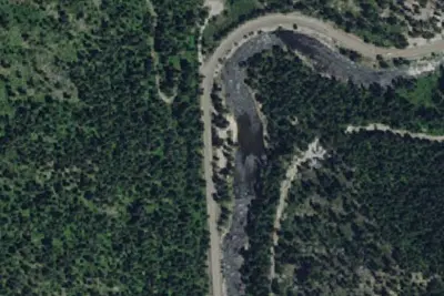
Camp site
Campground · 3.3 mi · Smiths Ferry
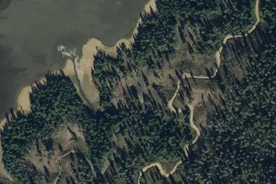
Hollywood Campground
Public Land · 4.7 mi · Smiths Ferry
3 more within 25 mi
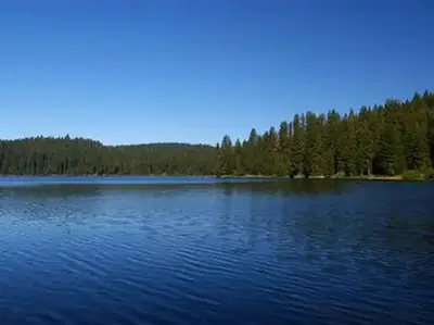
Dispersed camping nearby
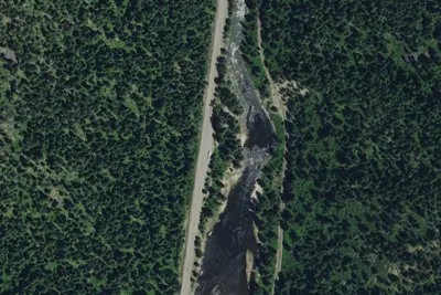
Free dispersed camping within 19 mi, on public land.
Location and contact
Data from OpenStreetMap
Something wrong here? Suggest an edit
Run this campground? Claim the listing