Torreya State Park
Grand Ridge, Florida · 266 ft · In Torreya State Park
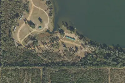
Aerial view · USGS / USDA NAIP · Public domain · source
Photos taken nearby
From Wikimedia Commons, taken close to this campground — not necessarily pictures of it.
Wildfire 41 mi S: Iao, 260 acres
At a glance
6 of 8 facts known · from OpenStreetMap and USGS
- Elevation
- 266 ft (81 m)266 ft81 m
Loops3
Pick a loop to see its sites.
- AREA TORREYA SP8 sites8 hike-to
- Loop WRLO29 sites29 standard · up to 60 ft
- TORREYA CHALLENGE4 sites4 hike-to
Other areas
From Florida State Parks' site list.
Other campgrounds in Torreya State Park 4
Nearest first. Every place inside the park's boundary.
- RV parkRV Park · facts not yet known100 ft
- Rock Bluff Primitive CampCampground · facts not yet known0.7 mi
- Rock Creek Primitive CampCampground · facts not yet known1.0 mi
- Torreya Challenge Primitive CampCampground · facts not yet known2.4 mi
Camped at RV park or Rock Bluff Primitive Camp?
Add sites, hookups and season so the next camper can choose the right loop.
Also in the park: 1 single site
Open the park pageAmenities
You could be the first camper hereYou could be the first camper on this page
Stayed here? Share what the next camper should know.
Free account · no email needed to browse
About
High bluffs overlooking the Apalachicola River make Torreya one of Florida's most scenic places. Developed by the Civilian Conservation Corps in the 1930s, Torreya is popular for camping, hiking and picnicking. Birdwatching is also a popular activity. Over 100 species of birds have been spotted in the park. Forests of hardwood trees provide the finest display of fall color found in Florida. The park is named for an extremely rare species of Torreya tree that grows only on the bluffs along the Apalachicola River. Today, the park plays a critical role in preserving unique plant and animal species and natural communities that are of regional importance, and protecting the water quality of the Apalachicola River, which feeds the productive Apalachicola Bay. The park's high plateaus, steep bluffs and deep ravines are covered with a forest that harbors a variety of rare and endemic plants and animals, many of which are more common farther north than this location. Although the landscape has changed since Hurricane Michael, the park continues to provide the public with exceptional scenic vistas, limited hiking opportunities as well as attractive camping and picnicking areas. The park is still in recovery following Hurricane Michael.
From Florida State Parks, OpenStreetMap, and Overture Maps Foundation — Places · Edit
Cell service
Report signal- Verizon4G LTE
- AT&T4G LTE
- T-Mobile5G · 4G LTE
Cell service at Torreya State Park: FCC map Dec 2025
Weather
National Weather Service
- WedSunny90°65°
- ThuSunny, 1% chance of rain89°65°
- FriSunny, 2% chance of rain87°61°
- SatSunny, 1% chance of rain76°56°
- SunSunny, 1% chance of rain79°59°
Nearby camping
SeeSee all on the mapOutside the park, nearest first.
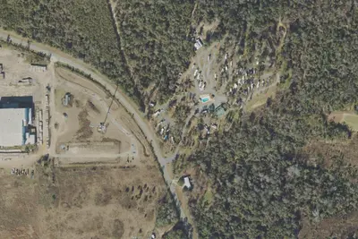
Triple C's Campground and RV Park
RV Park · 8.7 mi · Greensboro
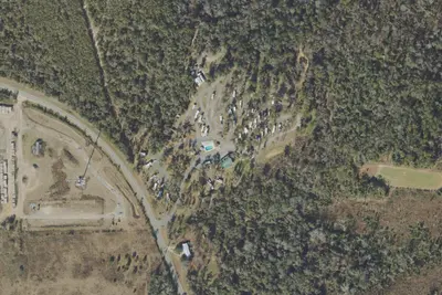
Flat Creek Family Campground
RV Park · 8.8 mi · Greensboro
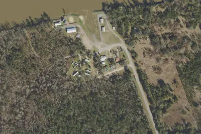
River View R.V. Park
RV Park · 9.2 mi · Bristol
3 more within 25 mi
Location and contact
Data from Florida State Parks (US eDirect booking system), OpenStreetMap, Overture Maps Foundation — Places
Something wrong here? Suggest an edit
Run this campground? Claim the listing