Camp Comfort Campground
South Umpqua, Oregon · 2,057 ft
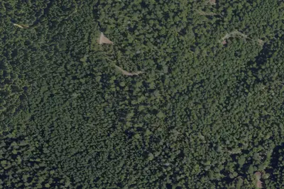
Aerial view · USGS / USDA NAIP · Public domain · source
At a glance
3 of 8 facts known · Forest Service data, checked Oct 3, 2026
- Elevation
- 2,057 ft (627 m)2,057 ft627 m
- Land
- Umpqua National Forest
U.S. Forest Service
Amenities
You could be the first camper hereYou could be the first camper on this page
Stayed here? Share what the next camper should know.
Free account · no email needed to browse
About
Near the Upper South Umpqua, Camp Comfort is perfect for camping, swimming, picnicking, and hiking. Large old-growth cedar and fir trees provide shade to campers, while rhododendron are a burst of color in the spring.Camp Comfort serves as the trailhead for Camp Comfort Trail #1586, a short but rewarding trail that leads to a rocky outcrop overlooking the beginning of the South Umpqua River. Deer Lick Falls Trail #1568, another short trail that leads to a popular swimming hole in the spring and summer, is a quick two-miles up Road 28.Facilities5 campsites with picnic tables and fire pitsNo drinking waterVault toiletGarbage disposal
From OpenStreetMap, USDA Forest Service — Recreation Opportunities, and USFS INFRA Recreation Sites · Edit
Cell service
Report signalFCC map: no coverage reported
- VerizonNo coverage on FCC map
- AT&TNo coverage on FCC map
- T-MobileNo coverage on FCC map
Cell service at Camp Comfort Campground: FCC map Dec 2025
Weather
National Weather Service
- WedSunny, 3% chance of rain76°47°
- ThuSunny85°47°
- FriSunny87°47°
- SatMostly Sunny, 3% chance of rain71°43°
- SunMostly Sunny, 4% chance of rain69°40°
Nearby camping
SeeSee all on the map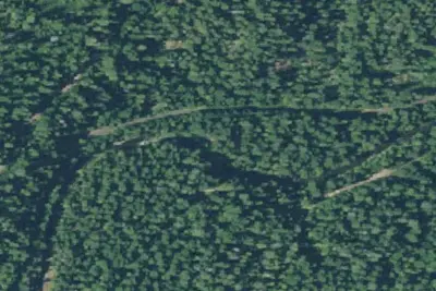
Skillet Creek
Public Land · 1.7 mi · South Umpqua
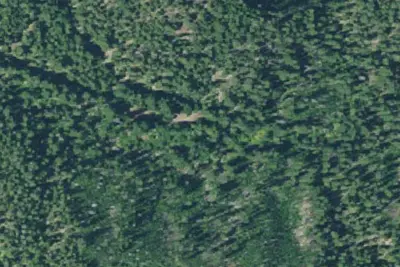
Old Campground
Campground · 2.1 mi · South Umpqua
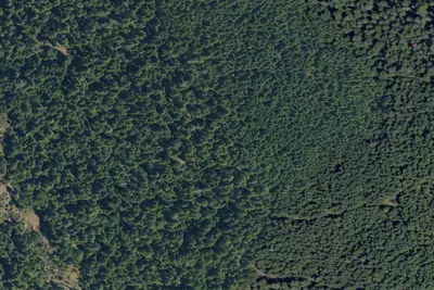
Buckhead Mountain
Public Land · 2.6 mi · South Umpqua
3 more within 25 mi
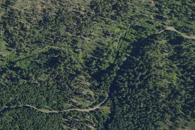
5 OpenStreetMap entries in South Umpqua share one park. They may be individual sites of a single campground. Suggest a merge
Dispersed camping nearby
Free dispersed camping within 19 mi, on public land.
Location and contact
Data from OpenStreetMap, USDA Forest Service — Recreation Opportunities, USFS INFRA Recreation Sites
Something wrong here? Suggest an edit
Run this campground? Claim the listing