Camp 32
Rexford, Montana · 2,740 ft
Aerial view · USGS / USDA NAIP · Public domain · source
At a glance
3 of 8 facts known · Forest Service data, checked Oct 3, 2026
- Elevation
- 2,740 ft (835 m)2,740 ft835 m
- Land
- Kootenai National Forest
U.S. Forest Service
Amenities
You could be the first camper hereYou could be the first camper on this page
Stayed here? Share what the next camper should know.
Free account · no email needed to browse
About
The Camp 32 campground is located 15 miles southwest of Eureka off Pinkham Creek road 7182. The campground 8 sites with tables, fire rings. Accommodating up to a 20' rd. Amenities include potable water, vault toilets and a large open field.
Camp 32 was a logging camp established in 1924 by the Bonners Ferry Lumber Company and operated for approximately 2 years. The land was acquired from early homesteader, Margaret Durall. The site included several out buildings. A company store and several small cabins.
From OpenStreetMap, USDA Forest Service — Recreation Opportunities, and USFS INFRA Recreation Sites · · Edit
Cell service
Report signal- Verizon4G LTE
- AT&T5G · 4G LTE
- T-Mobile5G · 4G LTE
Cell service at Camp 32: FCC map Dec 2025
Weather
National Weather Service
- WedAreas Of Frost then Mostly Sunny, 2% chance of rain59°36°
- ThuAreas Of Frost then Mostly Sunny60°35°
- FriMostly Sunny66°41°
- SatMostly Sunny, 2% chance of rain64°38°
- SunMostly Sunny, 1% chance of rain58°39°
Nearby camping
SeeSee all on the map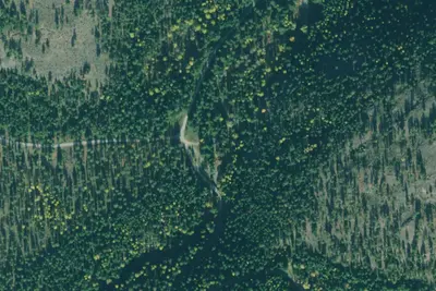
Rd7976#2
Dispersed · 1.7 mi · West Kootenai
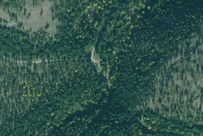
Rd7976#1
Dispersed · 1.7 mi · West Kootenai

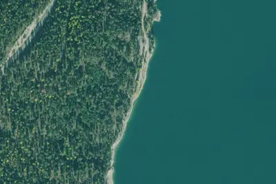
Rd7976#3
Dispersed · 1.8 mi · West Kootenai
3 more within 25 mi

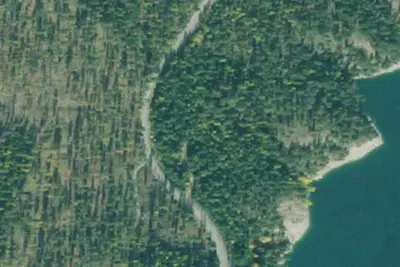
Dispersed camping nearby
Free dispersed camping within 19 mi, on public land.
Location and contact
Data from OpenStreetMap, USDA Forest Service — Recreation Opportunities, USFS INFRA Recreation Sites
Something wrong here? Suggest an edit
Run this campground? Claim the listing