Butte Lake Group
Old Station, California · 6,106 ft · In Lassen Volcanic National Park
Photos: LAVO Fee Staff
At a glance
5 of 8 facts known · recreation.gov, checked Sep 24, 2026
- Elevation
- 6,106 ft (1,861 m)6,106 ft1,861 m
Sites6
Butte Lake Group lists no loops, so its sites are listed here. Pick a site to see its details.
From recreation.gov's site list, Oct 10, 2026.
Other campgrounds in Lassen Volcanic National Park 10
Nearest first. Every place inside the park's boundary.
- Butte Lake2 loops · Loop A and Loop B · 101 sites · $15–$22 a night · Reserve on Recreation.govunder 100 ft
- Summit Lake North2 loops · Loop A and Loop B · 46 sites · $24 a night · Reserve on Recreation.gov8.0 mi
- Juniper Lake Campground18 sites · $12–$30 a night · Reserve on Recreation.gov8.0 mi
- Summit Lake South3 loops · Loop C, Loop D, Loop E · 49 sites · $15–$22 a night · Reserve on Recreation.gov8.1 mi
- Warner Valley Campground17 sites · $21 a night · Reserve on Recreation.gov9.7 mi
- Crags CampgroundCampground · facts not yet known11 mi
Also in the park: 7 group areas · Run by another agency: Rocky Campground 14 mi · 1 backcountry camp · 1 single site
Open the park pageAmenities
From Recreation.gov, Recreation.gov — campground rate cards · Correct
- Campfires allowed
From Recreation.gov, Recreation.gov — campground rate cards
You could be the first camper hereYou could be the first camper on this page
Stayed here? Share what the next camper should know.
Free account · no email needed to browse
About
Overview
Butte Lake Group Campground (elevation 6,100 feet) is located in the northeastern section of Lassen Volcanic National Park in northern California. It is fairly remote and within walking distance of Butte Lake, which is popular for fishing, canoeing, kayaking and swimming. Several hiking and backpacking trails are located nearby. The facility is 45 minutes from the main park road.Recreation
Outdoor enthusiasts stay at Butte Lake Campground for its many recreation opportunities. The lake is popular for trout fishing, as well as non-motorized boating. Within the facility, hikers and backpackers will find the trailhead for the Cinder Cone Trail, one of the most popular trails in the park that ascends a nearby volcanic dome. The Painted Dunes, Snag Lake and Bathtub Lake areas are also nearby.Facilities
From Recreation.gov and Recreation.gov — campground rate cards · · Edit
Cell service
Report signalFCC map: no coverage reported
- VerizonNo coverage on FCC map
- AT&TNo coverage on FCC map
- T-MobileNo coverage on FCC map
Cell service at Butte Lake Group: FCC map Dec 2025
Weather
National Weather Service
- TueSunny55°33°
- WedSunny63°38°
- ThuSunny63°38°
- FriSunny68°39°
- SatSunny65°38°
Nearby camping
SeeSee all on the mapOutside the park, nearest first.
Butte Creek USDA Campground
Dispersed · 3.2 mi · Old Station
Butte Creek
Public Land · 3.2 mi · Old Station
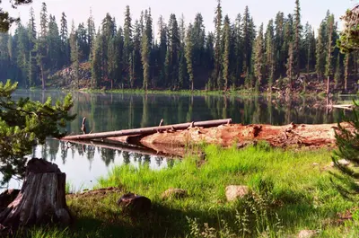
Silver Bowl Campground
Public Land · 8.7 mi · Warner Valley
3 more within 25 mi
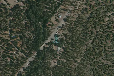
Dispersed camping nearby
Free dispersed camping within 19 mi, on public land.
Location and contact
Data from Recreation Information Database (RIDB) / Recreation.gov, Recreation.gov — campground rate cards
Something wrong here? Suggest an edit
Run this campground? Claim the listing