Burning Bear Campground
Keystone, Colorado · 9,633 ft · In Pike and San Isabel National Forests & Cimarron and Comanche National Grasslands
Aerial view · USGS / USDA NAIP · Public domain · source
Photos taken nearby
From Wikimedia Commons, taken close to this campground — not necessarily pictures of it.
Wildfire 41 mi SW: Willow, 7,359 acres, 92% contained
At a glance
6 of 8 facts known · recreation.gov, checked Sep 24, 2026
- Elevation
- 9,633 ft (2,936 m)9,633 ft2,936 m
Sites13
Burning Bear Campground lists no loops, so its sites are listed here. Pick a site to see its details.
- 01Standard · up to 8 people50 ft
- 02Standard · up to 8 people32 ft
- 03Standard · up to 8 people28 ft
- 04Standard · up to 8 people30 ft
- 05Standard · up to 8 people24 ft
- 06Standard · up to 8 people30 ft
- 07Standard · up to 8 people30 ft
- 08Standard · up to 8 people44 ft
- 09Standard · up to 8 people40 ft
- 10Tent only · up to 8 peopleTents only
Showing 10 of 13 · by site number
From recreation.gov's site list, Oct 10, 2026.
Amenities
From OpenStreetMap, Recreation.gov, Recreation.gov — campground rate cards, USDA Forest Service — Recreation Opportunities, USFS INFRA Recreation Sites · Correct
- Campfires allowed
From OpenStreetMap, Recreation.gov, Recreation.gov — campground rate cards, USDA Forest Service — Recreation Opportunities, USFS INFRA Recreation Sites
You could be the first camper hereYou could be the first camper on this page
Stayed here? Share what the next camper should know.
Free account · no email needed to browse
About
Overview
Located on the Pike and San Isabel National Forest at an elevation of 9,813 feet, Burning Bear Campground offers cooler temperatures during the hot Colorado summer months. Along the Guanella Pass Scenic Byway, this campground is near prime spots for wildlife viewing, scenic driving, landscape photography, hiking and roads open to off-highway vehicles.Recreation
Numerous hiking trail opportunities are available along Geneva Road. Mount Evans Wilderness is directly behind the campground allowing for access to the Abyss Trail (sometimes referred to as the Scott Gomer Trail).
From OpenStreetMap, Recreation.gov, Recreation.gov — campground rate cards, USDA Forest Service — Recreation Opportunities, and USFS INFRA Recreation Sites · · Edit
Cell service
Report signal- VerizonNo coverage on FCC map
- AT&T4G LTE
- T-MobileNo coverage on FCC map
Cell service at Burning Bear Campground: FCC map Dec 2025
Weather
National Weather Service
- TueChance Rain Showers, 38% chance of rain49°34°
- WedAreas Of Fog, 96% chance of rain39°28°
- ThuLight Snow Likely, 67% chance of rain37°20°
- FriSunny, 1% chance of rain44°27°
- SatSunny52°33°
Nearby camping
SeeSee all on the map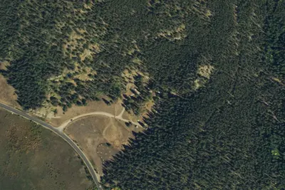
Site 9
Campground · under 100 ft · Keystone
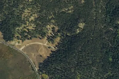
Site 5
Campground · under 100 ft · Keystone
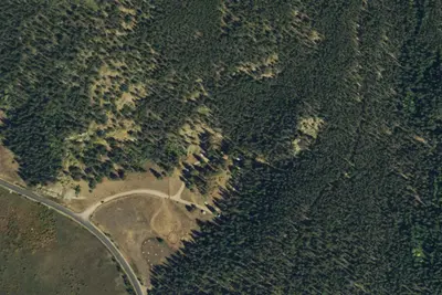
Site 8
Campground · 100 ft · Keystone
3 more within 25 mi
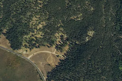
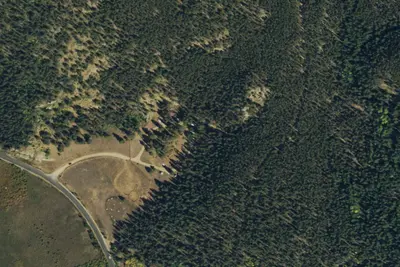
6 OpenStreetMap entries in Keystone share one park. They may be individual sites of a single campground. Suggest a merge
Dispersed camping nearby
Free dispersed camping within 19 mi, on public land.
- 1.8 mi
Designated Campsite
Keystone, CO · On U.S. Forest Service land · Pike National Forest
- 2.0 mi
Designated Campsite
Keystone, CO · On U.S. Forest Service land · Pike National Forest
- 2.1 mi
Designated Campsite
Keystone, CO · On U.S. Forest Service land · Pike National Forest
- 2.2 mi
Designated Campsite
Keystone, CO · On U.S. Forest Service land · Pike National Forest
- 2.2 mi
Designated Campsite
Keystone, CO · On U.S. Forest Service land · Pike National Forest
- 2.2 mi
Designated Campsite
Keystone, CO · On U.S. Forest Service land · Pike National Forest
Location and contact
Data from OpenStreetMap, Recreation Information Database (RIDB) / Recreation.gov, Recreation.gov — campground rate cards, USDA Forest Service — Recreation Opportunities, USFS INFRA Recreation Sites
Something wrong here? Suggest an edit
Run this campground? Claim the listing