Brush Creek Public Use Area
Sand Springs, Oklahoma · 686 ft · In Keystone Lake
Photos: USACE
Wildfire 24 mi N: Wildhorse, 10 acres
At a glance
6 of 8 facts known · recreation.gov, checked Oct 3, 2026
- Elevation
- 686 ft (209 m)686 ft209 m
Sites18
Brush Creek Public Use Area lists no loops, so its sites are listed here. Pick a site to see its details.
- 1Standard · up to 8 people35 ft
- 2Standard · up to 8 people45 ft
- 3Standard · up to 8 people40 ft
- 4Standard · up to 8 people35 ft
- 5Standard · up to 8 people45 ft
- 6Standard · up to 8 people40 ft
- 7Standard · up to 8 people50 ft
- 8Standard · up to 8 people55 ft
- 9Standard · up to 8 people50 ft
- 10Standard · up to 8 people65 ft
Showing 10 of 18 · by site number
From recreation.gov's site list, Oct 10, 2026.
Amenities
From Recreation.gov, Recreation.gov — campground rate cards · Correct
- Campfires allowed
From Recreation.gov, Recreation.gov — campground rate cards
You could be the first camper hereYou could be the first camper on this page
Stayed here? Share what the next camper should know.
Free account · no email needed to browse
About
Overview
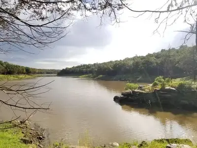
Brush Creek is located downstream of Keystone Dam, just 10 minutes from Tulsa, Oklahoma. This park features campground provided activities such as horseshoes, cornhole, a basketball court, a sand volleyball court, a mile-long fitness trail, and quick access to nearby multi-purpose trails. This is a popular destination for fishermen as they have the ability to cross along the pedestrian bridge from the campground to the fishing berm below the dam. In additon to fishing, this area offers prime opportunities to observe multiple wildlife species. Please note when camping here, while typically quiet, water releases from the dam are preceded by several warning signals from a horn. This is a brief safety measure for anyone in or near the water below the dam, and there is no danger to the campground.
Recreation
This park features fishing opportunities with disabled access, a pedestrian bridge, playground, horseshoe, cornhole, basketball court, volleyball court, and a fitness trail. Recreation opportunities that are offered nearby include the Two Rivers Trail, Keystone Singletrack Trail, and White Water Off Road Vehicle Area.
From Recreation.gov and Recreation.gov — campground rate cards · · Edit
Cell service
Report signal- Verizon4G LTE
- AT&T5G · 4G LTE
- T-Mobile5G · 4G LTE
Cell service at Brush Creek Public Use Area: FCC map Dec 2025
Weather
National Weather Service
- TueMostly Sunny, 9% chance of rain92°73°
- WedChance Showers And Thunderstorms then Showers And Thunderstorms, 77% chance of rain82°69°
- ThuShowers And Thunderstorms, 87% chance of rain81°53°
- FriSlight Chance Rain Showers then Partly Sunny, 21% chance of rain60°42°
- SatMostly Sunny63°46°
Nearby camping
SeeSee all on the map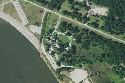
RV park
RV Park · 460 ft · Sand Springs
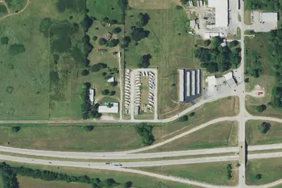
RV park
RV Park · 1.0 mi · Sand Springs
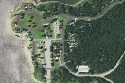
RV park
RV Park · 1.8 mi · Mannford
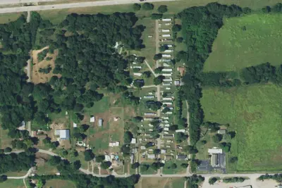
3 more within 25 mi
Location and contact
Data from Recreation Information Database (RIDB) / Recreation.gov, Recreation.gov — campground rate cards
Something wrong here? Suggest an edit
Run this campground? Claim the listing