Branham Lakes Campground and Picnic Area
Brandon, Montana · 8,812 ft
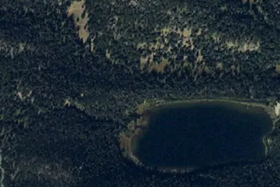
Aerial view · USGS / USDA NAIP · Public domain · source
At a glance
3 of 8 facts known · Forest Service data, checked Oct 3, 2026
- Elevation
- 8,812 ft (2,686 m)8,812 ft2,686 m
- Land
- Beaverhead National Forest
U.S. Forest Service
Amenities
You could be the first camper hereYou could be the first camper on this page
Stayed here? Share what the next camper should know.
Free account · no email needed to browse
About
The Branham Lakes Campground is a nice rustic campground on 3 acres. At almost 9,000 feet elevation, this campground is one of the highest places you can drive to in Southwest Montana. There is a ADA accessible toilet, water in spring/summer, as well as acess to Branham Lake for fishing. There is no boat launch area. The road to Branham Campground may not be suitable for low-profile vehicles, the alpine meadows and views of the Tobacco Root mountains are worth the trek. The campground's six sites rest along the lakeshore, surrounding by the beauty of nature.
Fees: Overnight Use:
From OpenStreetMap, USDA Forest Service — Recreation Opportunities, and USFS INFRA Recreation Sites · · Edit
Cell service
Report signalFCC map: no coverage reported
- VerizonNo coverage on FCC map
- AT&TNo coverage on FCC map
- T-MobileNo coverage on FCC map
Cell service at Branham Lakes Campground and Picnic Area: FCC map Sep 2026
Weather
National Weather Service
- WedPartly Sunny, 1% chance of rain38°21°
- ThuPatchy Fog then Mostly Sunny, 3% chance of rain35°21°
- FriSunny44°29°
- SatSunny46°28°
- SunSunny45°30°
Nearby camping
SeeSee all on the map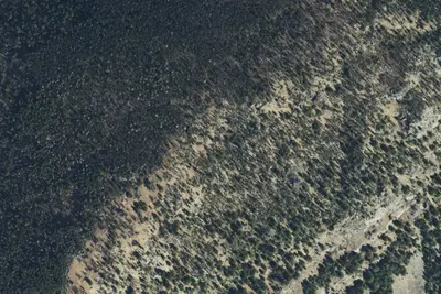
Balanced Rock Campground
Public Land · 2.3 mi · Brandon
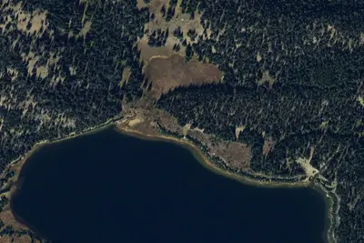
Fs6340-06
Dispersed · 2.3 mi · Brandon
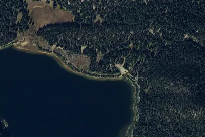
Fs6340-05
Dispersed · 2.4 mi · Brandon
3 more within 25 mi
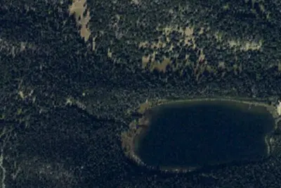
Dispersed camping nearby
Free dispersed camping within 19 mi, on public land.
Location and contact
Data from OpenStreetMap, USDA Forest Service — Recreation Opportunities, USFS INFRA Recreation Sites
Something wrong here? Suggest an edit
Run this campground? Claim the listing