Blowout Campground
Alpine Northwest, Idaho · 5,915 ft
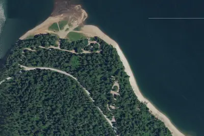
Aerial view · USGS / USDA NAIP · Public domain · source
At a glance
2 of 8 facts known · from OpenStreetMap and USGS
- Elevation
- 5,915 ft (1,803 m)5,915 ft1,803 m
Amenities
You could be the first camper hereYou could be the first camper on this page
Stayed here? Share what the next camper should know.
Free account · no email needed to browse
About
5700-foot elevation. 30 campsites on the east side of Palisades Reservoir. Excellent for RVs and large boats and trailers. Second largest boating facility on the reservoir. Forested sites available on top of the hill. RV sites at reservoir shoreline next to boat ramp.
We are working to update this page. Please visit the website below for more information.
From BLM National Recreation Sites & Facilities and Recreation.gov · Edit
Cell service
Report signal- Verizon5G · 4G LTE
- AT&T4G LTE
- T-Mobile5G · 4G LTE
Cell service at Blowout Campground: FCC map Dec 2025
Weather
National Weather Service
- TueLight Rain, 83% chance of rain48°30°
- WedMostly Sunny, 2% chance of rain55°28°
- ThuSunny62°30°
- FriSunny64°31°
- SatSunny64°32°
Nearby camping
SeeSee all on the map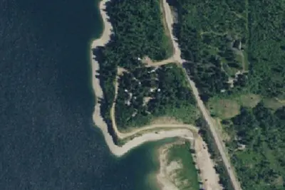
Blowout Campground
Public Land · 2.2 mi · Alpine Northwest
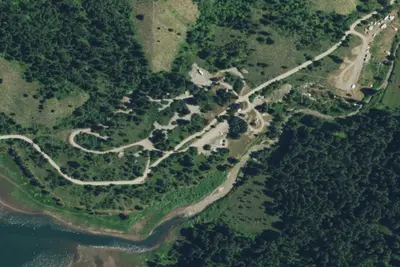
Big Elk Campground
Public Land · 4.7 mi · Irwin
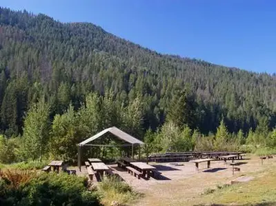
Big Elk
Public Land · 4.7 mi · Irwin
3 more within 25 mi
Dispersed camping nearby
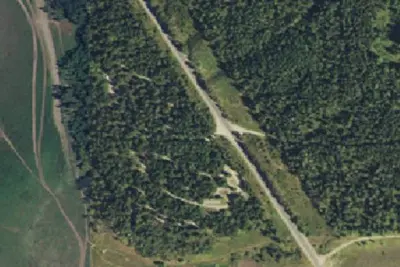
Free dispersed camping within 19 mi, on public land.
Location and contact
Data from BLM National Recreation Sites & Facilities, Recreation Information Database (RIDB) / Recreation.gov
Something wrong here? Suggest an edit
Run this campground? Claim the listing