Blackberry Crossing Campground
Bartlett, New Hampshire · 889 ft
Aerial view · USGS / USDA NAIP · Public domain · source
At a glance
3 of 8 facts known · Forest Service data, checked Oct 3, 2026
- Elevation
- 889 ft (271 m)889 ft271 m
- Land
- White Mountain National Forest
U.S. Forest Service
Amenities
You could be the first camper hereYou could be the first camper on this page
Stayed here? Share what the next camper should know.
Free account · no email needed to browse
About
Blackberry Crossing is unique in that is was a CCC (Civilian Conservation Corps) Camp during the 1930's. There is a self-guided tour of the old camp within the campground. The campground has 26 sites that are available on a first come, first served basis. There are hand pumps for water and vault toilets. A short walk from the campground is the Albany Covered Bridge, The Nanamocomuck Ski Trail, and the Boulder Loop hiking trail.
Fees: Overnight Use:
From OpenStreetMap, Overture Maps Foundation — Places, USDA Forest Service — Recreation Opportunities, and USFS INFRA Recreation Sites · · Edit
Cell service
Report signalFCC map: no coverage reported
- VerizonNo coverage on FCC map
- AT&TNo coverage on FCC map
- T-MobileNo coverage on FCC map
Cell service at Blackberry Crossing Campground: FCC map Dec 2025
Weather
National Weather Service
- TueRain, 99% chance of rain42°42°
- WedPatchy Fog then Mostly Sunny, 9% chance of rain63°41°
- ThuSunny52°39°
- FriRain Showers, 100% chance of rain48°33°
- SatSlight Chance Rain And Snow Showers, 24% chance of rain36°27°
Nearby camping
SeeSee all on the map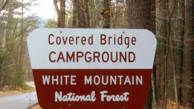
Covered Bridge
Public Land · 0.7 mi · Conway
Camp Penacook Shelter
Public Land · 3.6 mi · Conway
Jim Liberty Cabin
Other · 4.1 mi · Conway
3 more within 25 mi
Dispersed camping nearby
Free dispersed camping within 19 mi, on public land.
Location and contact
Data from OpenStreetMap, Overture Maps Foundation — Places, USDA Forest Service — Recreation Opportunities, USFS INFRA Recreation Sites
Something wrong here? Suggest an edit
Run this campground? Claim the listing