Big Rock Group Campground
Clear Creek, Utah · 7,779 ft
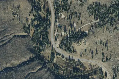
Aerial view · USGS / USDA NAIP · Public domain · source
At a glance
3 of 8 facts known · Forest Service data, checked Oct 3, 2026
- Elevation
- 7,779 ft (2,371 m)7,779 ft2,371 m
Amenities
You could be the first camper hereYou could be the first camper on this page
Stayed here? Share what the next camper should know.
Free account · no email needed to browse
About
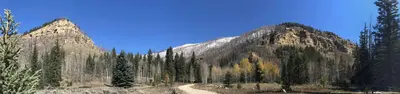
Big Rock Group Campground is located in beautiful Huntington Canyon, along the Huntington Canyon National Scenic Byway on Utah Highway 31. It is situated at an elevation of 7,800 feet. Many recreational activities are available, including hiking, biking and fishing. Huntington Creek flows alongside the campground. Pine and fir trees line the edges surrounding the campground, but offer little shade within the site. The surrounding area has numerous lakes and streams, vibrant summer wildflowers, colorful fall foliage and abundant wildlife. The campground provides one large-group site that can accommodate up to 50 people. A large, gravel parking area provides ample room for RVs of any size. Site amenities include picnic tables, serving tables, benches, fire ring and Dutch oven stands. Accessible vault toilets are provided, but drinking water is not available at the campground. Potable water can be found 1 mile away at the Stuart Guard Station. Visitors are asked to carry out all garbage. Popular activities enjoyed by visitors to the area include fishing, hunting, hiking, mountain biking, horseback riding, rock climbing and scenic driving. Huntington Creek is a Blue Ribbon fishery, providing high quality brown, cutthroat and rainbow trout. The 6-mile Left Fork of the Huntington National Recreation Trail is nearby and is open to hikers and horseback riders. Amenities include: Fire Rings Picnic Tables Restrooms Camping Fees:$5 per Night for each Vehicle$50 for Reservations per night
From USDA Forest Service — Recreation Opportunities and USFS INFRA Recreation Sites · Edit
Cell service
Report signalFCC map: no coverage reported
- VerizonNo coverage on FCC map
- AT&TNo coverage on FCC map
- T-MobileNo coverage on FCC map
Cell service at Big Rock Group Campground: FCC map Dec 2025
Weather
National Weather Service
- WedChance Snow Showers, 40% chance of rain41°30°
- ThuMostly Sunny, 1% chance of rain47°29°
- FriSunny, 1% chance of rain52°32°
- SatSunny, 2% chance of rain52°34°
- SunSunny, 2% chance of rain55°35°
Nearby camping
SeeSee all on the map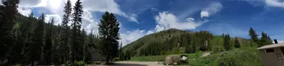
Big Rock Group
Public Land · under 100 ft · Clear Creek
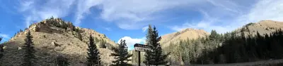
Forks of Huntington
Public Land · 0.8 mi · Clear Creek
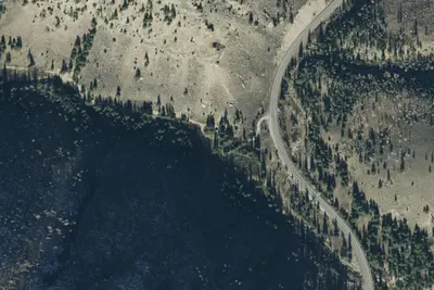
Site 1 - Group Site
Campground · 0.8 mi · Clear Creek
3 more within 25 mi
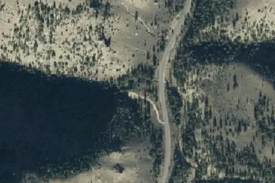
4 OpenStreetMap entries in Clear Creek share one park. They may be individual sites of a single campground. Suggest a merge
Dispersed camping nearby
Free dispersed camping within 19 mi, on public land.
- 7.7 mi
Camp site
Mount Pleasant, UT · On U.S. Forest Service land · Manti-La Sal National Forest
- 8.6 mi
Camp site
Clear Creek, UT · On U.S. Forest Service land · Manti-La Sal National Forest
- 8.6 mi
Camp site
Clear Creek, UT · On U.S. Forest Service land · Manti-La Sal National Forest
- 8.7 mi
Camp site
Clear Creek, UT · On U.S. Forest Service land · Manti-La Sal National Forest
- 8.7 mi
Camp site
Clear Creek, UT · On U.S. Forest Service land · Manti-La Sal National Forest
- 8.7 mi
Camp site
Clear Creek, UT · On U.S. Forest Service land · Manti-La Sal National Forest
Location and contact
Data from USDA Forest Service — Recreation Opportunities, USFS INFRA Recreation Sites
Something wrong here? Suggest an edit
Run this campground? Claim the listing