Big Lake
Black Butte Ranch, Oregon · 4,685 ft · In Willamette National Forest
Wildfire 26 mi NE: Bench, 67,071 acres, 90% contained
At a glance
6 of 8 facts known · recreation.gov, checked Sep 24, 2026
- Elevation
- 4,685 ft (1,428 m)4,685 ft1,428 m
Loops3
Pick a loop to see its sites.
From recreation.gov's site list, Oct 10, 2026: 8 staff entries left out. Loop names are trimmed and merged.
How we name loops
“S&P” is a staff entry, not a campsite, and is left out.
Amenities
From OpenStreetMap, Recreation.gov, Recreation.gov — campground rate cards, USDA Forest Service — Recreation Opportunities, USFS INFRA Recreation Sites · Correct
- Caravan / RV sites
- Drinking water
- Tent sites
From OpenStreetMap, Recreation.gov, Recreation.gov — campground rate cards, USDA Forest Service — Recreation Opportunities, USFS INFRA Recreation Sites
You could be the first camper hereYou could be the first camper on this page
Stayed here? Share what the next camper should know.
Free account · no email needed to browse
About
Overview
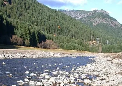
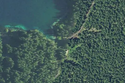
This campground provides 49 single campsites. There are both reservable and FCFS sites. The original campsites within Big Lake are in two loops, (sites #1-14 and #15-20) which have eight or so sites with frontage on the lake shore. In 1992 additional campsites were opened (sites #21-49) on a long straight stretch from the boat launch towards Big Lake West. These sites have larger and wider parking spurs, and most sites use stairs to access the table, fire rings and tent pad below the parking spur. Sites can accommodate trailers up to 35 feet in length, depending on site. Drinking water is provided by a water system, built in 1993, which serves the entire Big Lake complex by filtering water drawn from the lake and distributing it to the campgrounds. There are three single vault toilets, and two double vault toilets in the campground. The extra vehicle parking area consists of a boat launch, picnic area, and parking for approximately 15 vehicles and boat trailers. All of these day use facilities are located in the middle of the campground, between the original loops and the "expansion" campsites. *Day Use Fee for day users/boat launch. Extra Vehicle Fee for campers with more than 1 vehicle.
Campfires allowed until and unless otherwise posted. Fire bans are common during summer months. Please plan accordingly.
From OpenStreetMap, Recreation.gov, Recreation.gov — campground rate cards, USDA Forest Service — Recreation Opportunities, and USFS INFRA Recreation Sites · · Edit
Cell service
Report signal- Verizon4G LTE
- AT&T4G LTE
- T-Mobile5G · 4G LTE
Cell service at Big Lake: FCC map Dec 2025
Weather
National Weather Service
- WedMostly Sunny, 4% chance of rain60°38°
- ThuSunny61°37°
- FriSunny70°41°
- SatPartly Sunny, 4% chance of rain51°33°
- SunMostly Sunny, 3% chance of rain52°33°
Nearby camping
SeeSee all on the map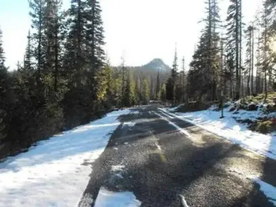
Big Lake West Campground
Public Land · 0.7 mi · Black Butte Ranch
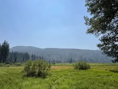
Lost Lake - Willamette (OR)
Public Land · 4.2 mi · Black Butte Ranch
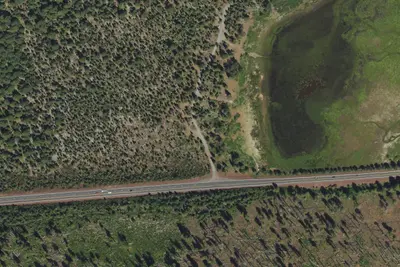
Lost Lake Campground
Public Land · 4.2 mi · Black Butte Ranch
3 more within 25 mi
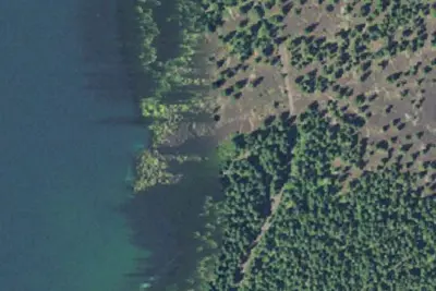
Dispersed camping nearby
Free dispersed camping within 19 mi, on public land.
- 6.7 mi
Camp site (Forest Service)
Camp Sherman, OR · On U.S. Forest Service land · Willamette National Forest
- 7.8 mi
Camp site
Camp Sherman, OR · On U.S. Forest Service land · Deschutes National Forest
- 7.9 mi
Camp site
Camp Sherman, OR · On U.S. Forest Service land · Deschutes National Forest
- 7.9 mi
Camp site
Black Butte Ranch, OR · On U.S. Forest Service land · Willamette National Forest
- 8.4 mi
Camp site
Black Butte Ranch, OR · On U.S. Forest Service land · Willamette National Forest
- 8.8 mi
Camp site
Camp Sherman, OR · On U.S. Forest Service land · Deschutes National Forest
Location and contact
Data from OpenStreetMap, Recreation Information Database (RIDB) / Recreation.gov, Recreation.gov — campground rate cards, USDA Forest Service — Recreation Opportunities, USFS INFRA Recreation Sites
Something wrong here? Suggest an edit
Run this campground? Claim the listing