Big Creek Meadows Campground
Pilot Rock, Oregon · 5,052 ft
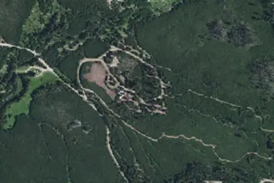
Aerial view · USGS / USDA NAIP · Public domain · source
Wildfire 15 mi SE: McCully, 13,604 acres, 91% contained
At a glance
3 of 8 facts known · Forest Service data, checked Oct 3, 2026
- Elevation
- 5,052 ft (1,540 m)5,052 ft1,540 m
- Land
- Umatilla National Forest
U.S. Forest Service
Amenities
You could be the first camper hereYou could be the first camper on this page
Stayed here? Share what the next camper should know.
Free account · no email needed to browse
About
Big Creek Campground is small and increasingly popular with OHV recreationists, located just off the Blue Mountain Scenic Byway. It also provides access into the North Fork John Day Wilderness and there is ample parking for truck and stock trailers at the trailhead. It is set in a riparian area, so surrounding areas can be quite wet well into June. It features; 3 campsites and; an accessible; vault toilet. There is no potable water or garbage service, so please pack out all garbage and dispose of it at home. Trail access:This campground contains a trailhead into the North Fork John Day Wilderness; that accesses; Big Creek Trail #3151; to the south. There is nearby access to; Tower Mountain Trail #3156; to the north of Forest Road 52 that also accesses the North Fork John Day Wilderness where; Wilderness regulations apply.There are three OHV trails that connect into the campground:; Tower Loop Trail #3040,; Meadow Creek Trail #3193, and; Christensen Trail #3185.Attractions at this campground are wilderness hiking, hunting, fishing,; and OHV trail access. If you like to drive, you can pick up the Ukiah-Granite Roadside Geology tour brochure at the Ranger District and take a day trip to Granite. Huckleberries abound nearby in mid August.
Fees: No fees are required for this site
From USDA Forest Service — Recreation Opportunities and USFS INFRA Recreation Sites · Edit
Cell service
Report signalFCC map: no coverage reported
- VerizonNo coverage on FCC map
- AT&TNo coverage on FCC map
- T-MobileNo coverage on FCC map
Cell service at Big Creek Meadows Campground: FCC map Dec 2025
Weather
National Weather Service
- WedMostly Sunny, 2% chance of rain56°32°
- ThuSunny65°44°
- FriSunny64°40°
- SatMostly Sunny60°32°
- SunSunny, 1% chance of rain59°37°
Nearby camping
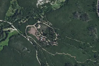
SeeSee all on the mapBig Creek Meadows Campground
Campground · 150 ft · Pilot Rock
Winom Campground & Trailhead
Public Land · 1.0 mi · Pilot Rock
Camp site
Campground · 1.0 mi · Pilot Rock
3 more within 25 mi
3 OpenStreetMap entries in Pilot Rock share one park. They may be individual sites of a single campground. Suggest a merge
Location and contact
Data from USDA Forest Service — Recreation Opportunities, USFS INFRA Recreation Sites
Something wrong here? Suggest an edit
Run this campground? Claim the listing