Big Cottonwood Campground
Bruneau, Idaho · 5,131 ft
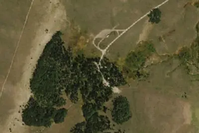
Aerial view · USGS / USDA NAIP · Public domain · source
At a glance
2 of 8 facts known · from OpenStreetMap and USGS
- Elevation
- 5,131 ft (1,564 m)5,131 ft1,564 m
- Land
- Jarbidge Field Office
Bureau of Land Management
Amenities
You could be the first camper hereYou could be the first camper on this page
Stayed here? Share what the next camper should know.
Free account · no email needed to browse
About
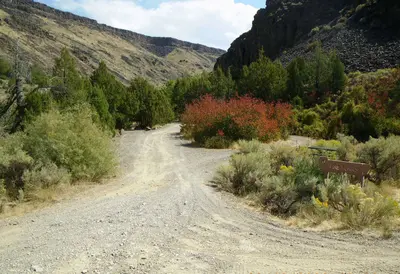
Two-wheel drive vehicles are sufficient to reach the campground, located on the East Fork of the Jarbidge River about half a mile north of Murphy Hot Springs.
From BLM National Recreation Sites & Facilities and Recreation.gov · Edit
Good to know
- Stay limit: 14 Days
Cell service
Report signalFCC map: no coverage reported
- VerizonNo coverage on FCC map
- AT&TNo coverage on FCC map
- T-MobileNo coverage on FCC map
Cell service at Big Cottonwood Campground: FCC map Dec 2025
Weather
National Weather Service
- WedSunny, 1% chance of rain58°33°
- ThuWidespread Frost then Sunny63°37°
- FriSunny70°44°
- SatSunny69°43°
- SunSunny68°46°
Nearby camping
SeeSee all on the map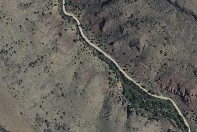
Location and contact
Data from BLM National Recreation Sites & Facilities, Recreation Information Database (RIDB) / Recreation.gov
Something wrong here? Suggest an edit
Run this campground? Claim the listing