Big Bend Campground
Mountain City, Nevada · 6,959 ft
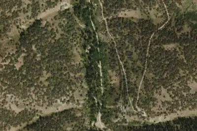
Aerial view · USGS / USDA NAIP · Public domain · source
At a glance
3 of 8 facts known · Forest Service data, checked Oct 3, 2026
- Elevation
- 6,959 ft (2,121 m)6,959 ft2,121 m
- Land
- Humboldt National Forest
U.S. Forest Service
Amenities
You could be the first camper hereYou could be the first camper on this page
Stayed here? Share what the next camper should know.
Free account · no email needed to browse
About
Generally open May to November, as weather and conditions allow. Very popular with hunters during the hunting seasons. The mining town site of Gold Creek, within the Island Mountain Mining District, is 5 miles south of Big Bend on county road 745. Very little remains of the town as most of it was moved or torn down in the 1920s. A plaque at the town site contains additiol information. In an aspen grove surrounded by wide open country, 15 miles northeast of Wildhorse Reservoir.
Fees: Overnight Use:
From OpenStreetMap, USDA Forest Service — Recreation Opportunities, and USFS INFRA Recreation Sites · · Edit
Cell service
Report signalFCC map: no coverage reported
- VerizonNo coverage on FCC map
- AT&TNo coverage on FCC map
- T-MobileNo coverage on FCC map
Cell service at Big Bend Campground: FCC map Dec 2025
Weather
National Weather Service
- WedSunny, 1% chance of rain53°33°
- ThuSunny60°35°
- FriSunny63°41°
- SatSunny63°41°
- SunSunny64°41°
Nearby camping
SeeSee all on the map
Wildhorse Crossing Upper Loop Group Campground
Public Land · 11 mi · Mountain City
Wildhorse Crossing Campground
Public Land · 11 mi · Mountain City
Camp Draw Trailhead
Public Land · 13 mi · Jarbidge
3 more within 25 mi
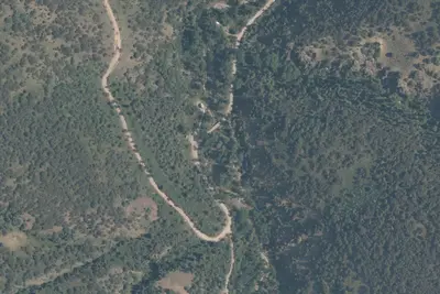
4 OpenStreetMap entries in Mountain City share one park. They may be individual sites of a single campground. Suggest a merge
Location and contact
Data from OpenStreetMap, USDA Forest Service — Recreation Opportunities, USFS INFRA Recreation Sites
Something wrong here? Suggest an edit
Run this campground? Claim the listing