Beaverdam Campground and Picnic Area
Butte-Silver Bow (balance), Montana · 6,650 ft
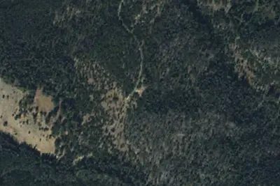
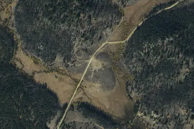
Photos: USGS / USDA NAIP
Wildfire 20 mi SW: Bobcat Lakes, 10,896 acres, 95% contained
At a glance
3 of 8 facts known · Forest Service data, checked Oct 3, 2026
- Elevation
- 6,650 ft (2,027 m)6,650 ft2,027 m
- Land
- Deerlodge National Forest
U.S. Forest Service
Amenities
From OpenStreetMap, USDA Forest Service — Recreation Opportunities, USFS INFRA Recreation Sites · Correct
- Toilets (outhouse)
From OpenStreetMap, USDA Forest Service — Recreation Opportunities, USFS INFRA Recreation Sites
You could be the first camper hereYou could be the first camper on this page
Stayed here? Share what the next camper should know.
Free account · no email needed to browse
About
Beaverdam Campground and Picnic Area is located in the Fleecer Mountain Range, approximately 17 miles south of Butte, west of Interstate 15. The campground has 15 units that will accommodate trailers up to 50 feet. There are five pull-through sites with the remaining designed as back-in sites. Tent pads are available at most sites. Wood is generally able to be found within the campground area. The campground is located along Divide Creek providing opportunities for fishing and is also in close proximity to trails. Motorized trail opportunities include access to the Continental Divide National Scenic Trail along with other loop trails.
Fees: Overnight Use:
From OpenStreetMap, USDA Forest Service — Recreation Opportunities, and USFS INFRA Recreation Sites · · Edit
Cell service
Report signal- Verizon4G LTE
- AT&T5G · 4G LTE
- T-Mobile5G · 4G LTE
Cell service at Beaverdam Campground and Picnic Area: FCC map Dec 2025
Weather
National Weather Service
- TueSunny40°25°
- WedSunny47°30°
- ThuSunny50°33°
- FriSunny56°37°
- SatSunny58°38°
Nearby camping
SeeSee all on the map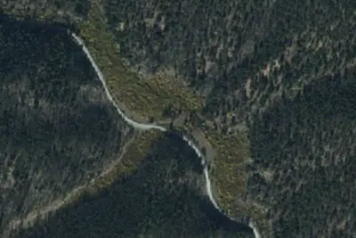
96-1
Dispersed · 0.5 mi · Butte-Silver Bow (balance)
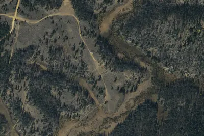
8505-6
Dispersed · 1.4 mi · Butte-Silver Bow (balance)
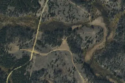
8505-4
Dispersed · 1.5 mi · Butte-Silver Bow (balance)
3 more within 25 mi
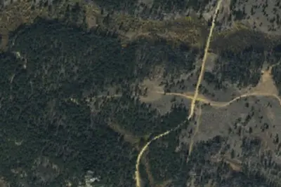
Dispersed camping nearby
Free dispersed camping within 19 mi, on public land.
Location and contact
Data from OpenStreetMap, USDA Forest Service — Recreation Opportunities, USFS INFRA Recreation Sites
Something wrong here? Suggest an edit
Run this campground? Claim the listing