Beaver Creek Campground
South Fork, Montana · 4,081 ft
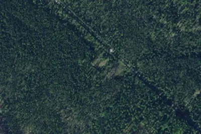
Aerial view · USGS / USDA NAIP · Public domain · source
At a glance
3 of 8 facts known · Forest Service data, checked Oct 3, 2026
- Elevation
- 4,081 ft (1,244 m)4,081 ft1,244 m
- Land
- Flathead National Forest
U.S. Forest Service
Amenities
You could be the first camper hereYou could be the first camper on this page
Stayed here? Share what the next camper should know.
Free account · no email needed to browse
About
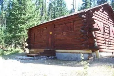
This is a free campground located 63 miles south of the town of Hungry Horse on the gravel East Side Reservoir Road #38. The campground is located at an elevation of 4,200 feet and is open from May 15 through November 30. Beaver Creek Campground is situated next to Spotted Bear River just off the Spotted Bear River Road #568. The 4 unit campground is set back from the road and the campsites are less than 100 feet to the river. The site is located in an old growth stand of trees. It is a moderate use site that usually has open campsites during the middle of the week. It often is used as a base for fishing in the summer and for the late season hunt in late October and November. For stock users, it is also used as trailhead parking when the Silvertip Trailhead at the end of Spotted Bear River Road 568 is closed from 5/15 through 6/30, and 9/1 through 11/30. Campsites can accommodate tents and trailers up to 32 feet in length. All campsites have tables and metal fire rings. There is an accessible vault toilet. There is no drinking water, but water is available from the river and must be treated prior to consumption. Stock is allowed in the campground. There is a stock unloading ramp, hitchrails, and feed bunks that stock may be tied to. Weed Seed Free Feed is required on all national forest lands. There is no garbage service and visitors need to plan to Pack It In, and Pack It Out. There is a food storage order in effect on all national forest land that requires that human and stock food, garbage, and other attractants be kept unavailable to bears. Your stay may not exceed 14 days. This is a remote location and there is no cell phone service in the area. The closest public phone is located 10 miles west at the Spotted Bear Ranger Station. Phone, gas, and food are located 63 miles north in the town of Hungry Horse.Beaver Creek campsite
Fees: No fees are required for this site
From OpenStreetMap, USDA Forest Service — Recreation Opportunities, and USFS INFRA Recreation Sites · Edit
Cell service
Report signalFCC map: no coverage reported
- VerizonNo coverage on FCC map
- AT&TNo coverage on FCC map
- T-MobileNo coverage on FCC map
Cell service at Beaver Creek Campground: FCC map Sep 2026
Weather
National Weather Service
- WedSunny51°26°
- ThuWidespread Frost then Sunny53°29°
- FriWidespread Frost then Sunny61°36°
- SatSunny62°32°
- SunSunny, 1% chance of rain55°35°
Nearby camping
SeeSee all on the map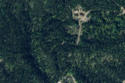
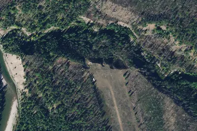
Dispersed camping nearby
Free dispersed camping within 19 mi, on public land.
Location and contact
Data from OpenStreetMap, USDA Forest Service — Recreation Opportunities, USFS INFRA Recreation Sites
Something wrong here? Suggest an edit
Run this campground? Claim the listing