Beaver Creek A-Frame Cabin (ID)
Avery-Clarkia, Idaho · 3,875 ft · In Idaho Panhandle National Forests
Photos: RB
Wildfire 18 mi SE: Moose Mountain, 5,832 acres, 90% contained
At a glance
3 of 8 facts known · recreation.gov, checked Sep 24, 2026
- Elevation
- 3,875 ft (1,181 m)3,875 ft1,181 m
Sites1
Beaver Creek A-Frame Cabin (ID) lists no loops, so its sites are listed here. Pick a site to see its details.
All 1 shown · by site number
From recreation.gov's site list, Oct 10, 2026.
Amenities
You could be the first camper hereYou could be the first camper on this page
Stayed here? Share what the next camper should know.
Free account · no email needed to browse
About
Overview
Beaver Creek A-Frame is located on the St. Joe Ranger District of the Idaho Panhandle National Forests in the heart of the Bitterroot Mountains. It is only a few miles from the St. Joe Wild and Scenic River and the historic Red Ives Ranger Station. The area is well known for its abundance of outdoor activities, such as site seeing, hiking, ATV/UTVing, fishing, and hunting. There is no cell service in the area.
Recreation
ATVing, UTVing, hiking, hunting, fishing, berry picking, site seeing.
From Recreation.gov and Recreation.gov — campground rate cards · · Edit
Cell service
Report signalFCC map: no coverage reported
- VerizonNo coverage on FCC map
- AT&TNo coverage on FCC map
- T-MobileNo coverage on FCC map
Cell service at Beaver Creek A-Frame Cabin (ID): FCC map Sep 2026
Weather
National Weather Service
- WedSunny, 1% chance of rain54°35°
- ThuSunny59°37°
- FriMostly Sunny65°43°
- SatMostly Sunny60°35°
- SunSunny, 2% chance of rain57°39°
Nearby camping
SeeSee all on the map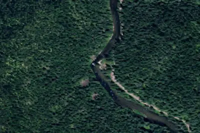
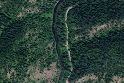
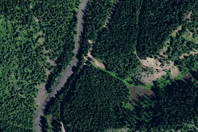
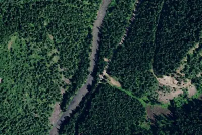
Dispersed camping nearby
Free dispersed camping within 19 mi, on public land.
Location and contact
Data from Recreation Information Database (RIDB) / Recreation.gov, Recreation.gov — campground rate cards
Something wrong here? Suggest an edit
Run this campground? Claim the listing