Beaver Creek Campground
Priest River, Idaho · 2,480 ft
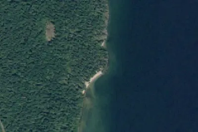
Aerial view · USGS / USDA NAIP · Public domain · source
Wildfire 11 mi SE: Silver, 2,593 acres, 30% contained
At a glance
3 of 8 facts known · Forest Service data, checked Oct 3, 2026
- Elevation
- 2,480 ft (756 m)2,480 ft756 m
Amenities
From OpenStreetMap, USDA Forest Service — Recreation Opportunities, USFS INFRA Recreation Sites · Correct
- Caravan / RV sites
- Tent sites
From OpenStreetMap, USDA Forest Service — Recreation Opportunities, USFS INFRA Recreation Sites
You could be the first camper hereYou could be the first camper on this page
Stayed here? Share what the next camper should know.
Free account · no email needed to browse
About
Beaver Creek Campground sits in the Idaho Panhandle National Forests, offering phenomenal views of the Selkirk Mountains across the reflective waters of Priest Lake. Natural Features: The campground is situated on the northwest shore of Priest Lake at an elevation of 2,500 feet, shaded by hemlock and cedar. Priest Lake consists of the main lake, where most water recreation takes place, and the smaller Upper Priest Lake to the north. The two lakes are divided by a narrow channel. Recreation: A local beach is easily accessible for swimming and boating. Visitors enjoy kayaking, canoeing or power boating up a 2.5-mile channel called the Thorofare that leads to the Upper Priest Lake Scenic Area, where birding is a popular activity. Beaver Creek has two trailheads, one for the 9-mile Navigation Trail that heads north, and one for the 8-mile Lakeshore Trail that heads south. Both trails offer sweeping mountain views and are enjoyed by both hikers and horseback riders. Facilities: Beaver Creek offers41spacious, reservable campsites and one large group site that can accommodate up to 35 guests. Amenities include drinking water, vault toilets, picnic tables, and fire rings. Nearby Attractions: Hiking, huckleberry picking, Selkirk Mountains views. Boat Launch: A Forest Service-operated boat launch is located south of the campground. It is a primitive, sandy launch designed for boats up to 20 feet long.
Fees: Overnight Use:
From OpenStreetMap, USDA Forest Service — Recreation Opportunities, and USFS INFRA Recreation Sites · · Edit
Cell service
Report signalFCC map: no coverage reported
- VerizonNo coverage on FCC map
- AT&TNo coverage on FCC map
- T-MobileNo coverage on FCC map
Cell service at Beaver Creek Campground: FCC map Dec 2025
Weather
National Weather Service
- TueMostly Sunny, 2% chance of rain54°36°
- WedAreas Of Frost then Mostly Sunny, 5% chance of rain59°38°
- ThuMostly Sunny63°40°
- FriSunny66°42°
- SatSlight Chance Rain Showers, 15% chance of rain61°35°
Nearby camping
SeeSee all on the map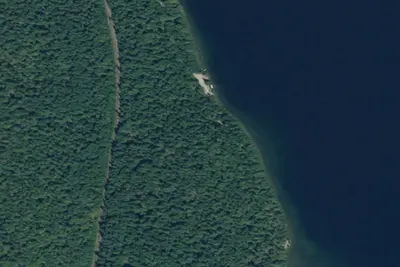
Tule Bay
Public Land · 0.4 mi · Priest River

1341-005
Dispersed · 0.4 mi · Priest River
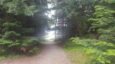
Beaver Creek (Idaho)
Public Land · 0.4 mi · Priest River
3 more within 25 mi
Dispersed camping nearby
Free dispersed camping within 19 mi, on public land.
Location and contact
Data from OpenStreetMap, USDA Forest Service — Recreation Opportunities, USFS INFRA Recreation Sites
Something wrong here? Suggest an edit
Run this campground? Claim the listing