Bandy Creek
Oneida, Tennessee · 1,578 ft · In Big South Fork National River and Recreation Area
Photos: NPS Photo
At a glance
7 of 8 facts known · recreation.gov, checked Sep 24, 2026
- Elevation
- 1,578 ft (481 m)1,578 ft481 m
Loops4
Pick a loop to see its sites.
- Loop A47 sites10 standard · 37 tent only · up to 51 ft
- Loop B14 sites14 standard · up to 59 ft
- Loop C30 sites30 standard · up to 60 ft
- Loop D51 sites51 standard · up to 73 ft
Other areas
From recreation.gov's site list, Oct 10, 2026: 1 staff entry left out. Loop names are trimmed and merged.
Other campgrounds in Big South Fork National River and Recreation Area 7
Nearest first. This park is spread out: the closest is 5 miles away.
- Station Camp Campground24 sites · $30–$35 a night · partial hookups · Reserve on Recreation.gov5.3 mi
- Station Camp Horse CampRV Park · facts not yet known5.3 mi
- Bear Creek Campground - KY23 sites · $30–$35 a night · partial hookups · Reserve on Recreation.gov14 mi
- Bear Creek Horse Camp$28 a night14 mi
- Blue Heron Campground45 sites · $30–$35 a night · partial hookups · Reserve on Recreation.gov16 mi
- Alum Ford CampgroundCampground · facts not yet known21 mi
Also in the park: 1 backcountry camp · 2 single sites
Open the park pageAmenities
From National Park Service — campgrounds, OpenStreetMap, Overture Maps Foundation — Places, Recreation.gov, Recreation.gov — campground rate cards · Correct
- ADA accessible
- Campfires allowed
- Showers
From National Park Service — campgrounds, OpenStreetMap, Overture Maps Foundation — Places, Recreation.gov, Recreation.gov — campground rate cards
You could be the first camper hereYou could be the first camper on this page
Stayed here? Share what the next camper should know.
Free account · no email needed to browse
About
Overview
Bandy Creek is a spacious and modern campground, situated in The Big South Fork National River and Recreation Area--a vast and scenic expanse of land that offers visitors countless recreational activities.Recreation
Numerous trails snake through the Recreation Area, offering mountain biking, hiking and horseback riding for visitors.
From National Park Service — campgrounds, OpenStreetMap, Overture Maps Foundation — Places, Recreation.gov, and Recreation.gov — campground rate cards · · Edit
Cell service
Report signal- Verizon4G LTE
- AT&TNo coverage on FCC map
- T-MobileNo coverage on FCC map
Cell service at Bandy Creek: FCC map Dec 2025
Weather
National Weather Service
- WedSunny, 2% chance of rain87°64°
- ThuMostly Sunny, 12% chance of rain86°63°
- FriSlight Chance Rain Showers, 21% chance of rain71°39°
- SatSunny, 1% chance of rain59°36°
- SunSunny66°42°
Nearby camping
SeeSee all on the mapOutside the park, nearest first.

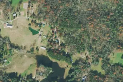
Big South Fork Lodge & Horse Campground
Campground · 3.1 mi · Allardt
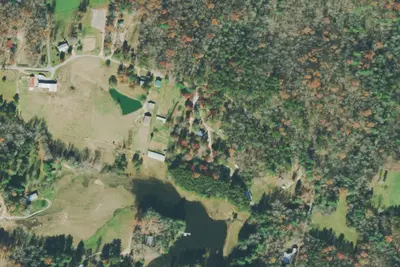
Camp site
Campground · 3.8 mi · Allardt
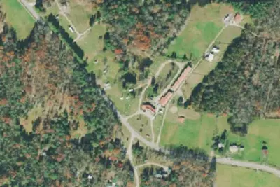
Saddle Valley Campground
Campground · 3.8 mi · Allardt
3 more within 25 mi
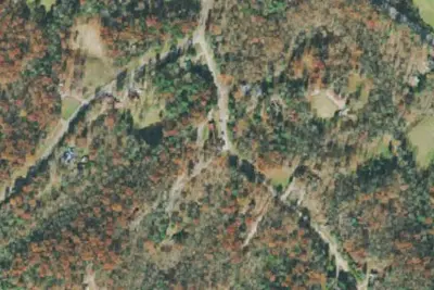
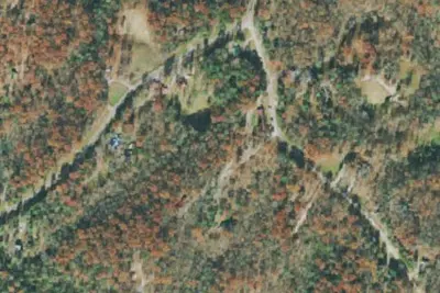
Dispersed camping nearby
Free dispersed camping within 19 mi, on public land.
Location and contact
Data from National Park Service — campgrounds (NPS Data API), OpenStreetMap, Overture Maps Foundation — Places, Recreation Information Database (RIDB) / Recreation.gov, Recreation.gov — campground rate cards
Something wrong here? Suggest an edit
Run this campground? Claim the listing