Bad Bear Campground
Idaho City, Idaho · 4,921 ft
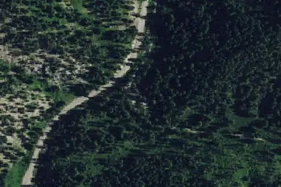
Aerial view · USGS / USDA NAIP · Public domain · source
At a glance
4 of 8 facts known · Forest Service data, checked Oct 3, 2026
- Elevation
- 4,921 ft (1,500 m)4,921 ft1,500 m
Amenities
From OpenStreetMap, USDA Forest Service — Recreation Opportunities, USFS INFRA Recreation Sites · Correct
- Campfires allowed
- Campfires allowed
- Caravan / RV sites
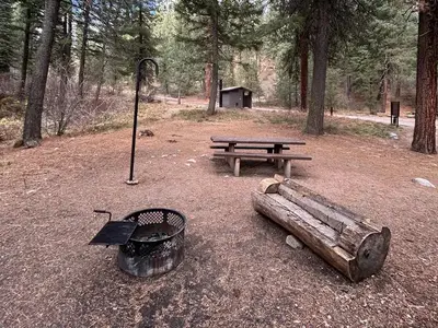
- Picnic tables
- Reservations
- Tent sites
- Toilets
From OpenStreetMap, USDA Forest Service — Recreation Opportunities, USFS INFRA Recreation Sites
You could be the first camper hereYou could be the first camper on this page
Stayed here? Share what the next camper should know.
Free account · no email needed to browse
About
The Chinquapin Group Campground is located at the former site of the Camp Oregon Caves Civilian Conservation Corps (CCC) camp. During the Great Depression from 1933- 1941 the Camp Oregon Caves Civilian Conservation Corps (CCC) camp was home to over 200 men who worked on projects in the Siskiyou National Forest and the Oregon Caves National Monument. Today, the only structure currently remaining at the site is the historic Grayback Ranger Station, constructed by CCC crews around 1936 and located immediately adjacent to the Chinquapin Group Campground. The large Port- Orford cedar tree located near the back of the parking area was dedicated in 2011 as the 56th Oregon State Heritage Tree and is a living reminder of the Civilian Conservation Corps (CCC) and Camp Oregon Caves CCC camp. The large meadow at the Chinquapin Group Campground makes a great location for group events such as reunions, church camps, school field trips and scouting events. Water, picnic tables and fire rings are readily available at three locations in the campground and a restroom is located at the back of the parking area. Within a short walking distance there are swimming areas in Grayback Creek and creek side trails with meadows, marshes, spring wildflowers, wildlife and berry picking. No electricity is available at the Chinquapin Group Campground. Visitors can continue 10 miles east on Hwy 46 and visit Oregon Caves National Monument for a tour of one of the few marble caves in the world.
Fees: Overnight Use:
From OpenStreetMap, USDA Forest Service — Recreation Opportunities, and USFS INFRA Recreation Sites · · Edit
Cell service
Report signalFCC map: no coverage reported
- VerizonNo coverage on FCC map
- AT&TNo coverage on FCC map
- T-MobileNo coverage on FCC map
Cell service at Bad Bear Campground: FCC map Dec 2025
Weather
National Weather Service
- TueWidespread Frost then Sunny56°36°
- WedSunny61°39°
- ThuSunny65°41°
- FriSunny69°43°
- SatSunny68°45°
Nearby camping
SeeSee all on the map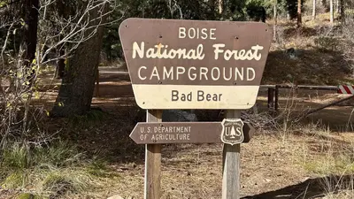
Bad Bear Campground
Public Land · 100 ft · Idaho City
Ten Mile Campground
Public Land · 0.3 mi · Idaho City
Ten Mile
Public Land · 0.3 mi · Idaho City
3 more within 25 mi
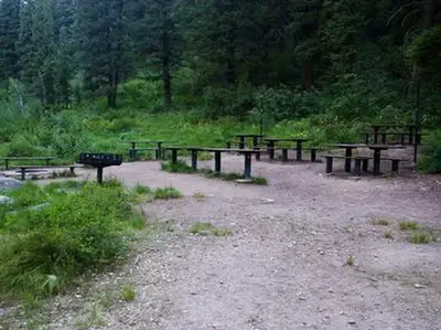
5 OpenStreetMap entries in Idaho City share one park. They may be individual sites of a single campground. Suggest a merge
Dispersed camping nearby
Free dispersed camping within 19 mi, on public land.
Location and contact
Data from OpenStreetMap, USDA Forest Service — Recreation Opportunities, USFS INFRA Recreation Sites
Something wrong here? Suggest an edit
Run this campground? Claim the listing