Auxiliary Dam Campground
Lake Isabella, California · 2,631 ft
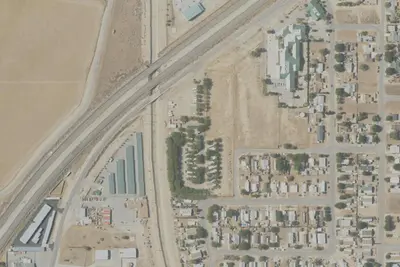
Photos: USGS / USDA NAIP
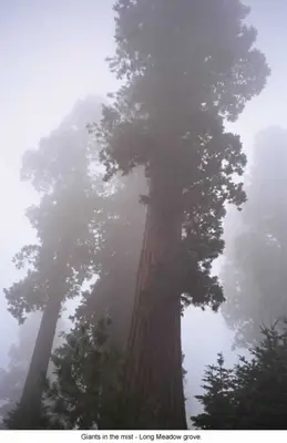
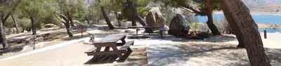
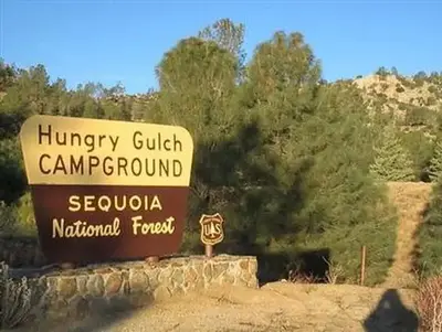
Photos taken nearby
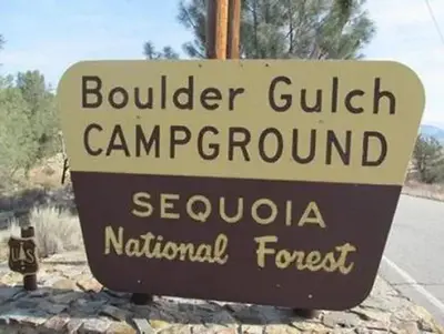
From Wikimedia Commons, taken close to this campground — not necessarily pictures of it.
Wildfire 3.9 mi NE: Cyrus, 543 acres, 85% contained
At a glance
3 of 8 facts known · Forest Service data, checked Oct 3, 2026
- Elevation
- 2,631 ft (802 m)2,631 ft802 m
- Land
- Sequoia National Forest
U.S. Forest Service
Amenities
You could be the first camper hereYou could be the first camper on this page
Stayed here? Share what the next camper should know.
Free account · no email needed to browse
About
Located on the southern end of Lake Isabella off Highway 178 near the town of Lake Isabella, this facility offers flush toilets, drinking water, trash service, a dump station and some campsites with stoves and picnic tables above the high water mark. Below the high-water mark, visitors can drive their vehicles to the shoreline and camp at the water 's edge. Below the high-water mark portable toilets and trash receptacles are provided for visitor convenience during the summer. Rocky Mountain Recreation (RMR)All developed campground areas on the Forest operate under a concessionaire permit with RMR. For additional information, please visithttps://rockymountainrec.com, or call their home office at (661) 702-1420, or their Lake Isabella office at760-376-1269.The Forest Service 's Southern Sierra Passes are accepted at this site, as well as the interagency Annual, Senior, Access, Volunteer, and Military Passes. The Southern Sierra Pass can be purchased at Golden State Surplus in Lake Isabella, James Sierra Gateway Market in South Lake, and local Forest Service offices. Campfire permits are required for campfires, barbeques, and camp stoves. Permits are available at your local Ranger Station or online at preventwildfireca.org For Kern River Ranger District recreation information, please call 760-376-3781.
Fees: Overnight Use:
From OpenStreetMap, USDA Forest Service — Recreation Opportunities, and USFS INFRA Recreation Sites · · Edit
Cell service
Report signal- Verizon4G LTE
- AT&T5G · 4G LTE
- T-Mobile5G · 4G LTE
Cell service at Auxiliary Dam Campground: FCC map Dec 2025
Weather
National Weather Service
- TueSunny, 1% chance of rain65°44°
- WedSunny75°51°
- ThuSunny80°56°
- FriSunny80°56°
- SatSunny79°54°
Nearby camping
SeeSee all on the mapOld Isabella
Other · 270 ft · Lake Isabella
South Fork Rec Campground
Public Land · 1.2 mi · Lake Isabella
Haven RV Park
RV Park · 1.3 mi · Lake Isabella
3 more within 25 mi
4 OpenStreetMap entries in Lake Isabella share one park. They may be individual sites of a single campground. Suggest a merge
Dispersed camping nearby
Free dispersed camping within 19 mi, on public land.
- 12 mi
Chico Flat Dispersed Campground
Kernville, CA · On U.S. Forest Service land · Sequoia National Forest
- 14 mi
Spring Hill South Dispersed Camping
Kernville, CA
- 15 mi
Spring Hill North Dispersed Camping
Kernville, CA
- 16 mi
Old Goldledge Dispersed Camping
Kernville, CA
- 18 mi
Chamise Flat Campground
Pine Flat, CA · On U.S. Forest Service land · Sequoia National Forest
- 18 mi
Chamise Flats Dispersed Camping Area
Pine Flat, CA
Location and contact
Data from OpenStreetMap, USDA Forest Service — Recreation Opportunities, USFS INFRA Recreation Sites
Something wrong here? Suggest an edit
Run this campground? Claim the listing