Aspen Grove Campground
Uintah and Ouray, Utah · 7,661 ft
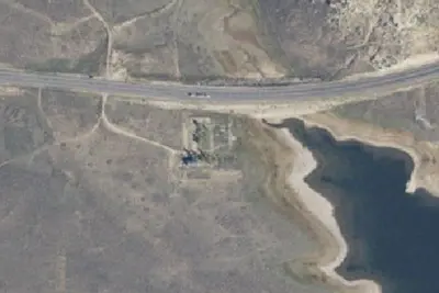
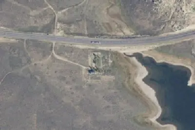
Photos: USGS / USDA NAIP
At a glance
3 of 8 facts known · Forest Service data, checked Oct 3, 2026
- Elevation
- 7,661 ft (2,335 m)7,661 ft2,335 m
Amenities
You could be the first camper hereYou could be the first camper on this page
Stayed here? Share what the next camper should know.
Free account · no email needed to browse
About
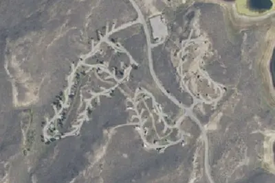
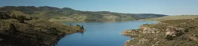
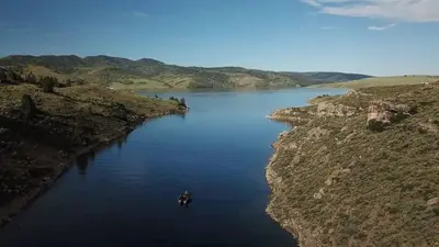
Aspen Grove Campground is located in a mountainous area near Soldier Creek Dam above the Soldier Creek section of beautiful Strawberry Reservoir. Improvements include paved roads and spurs, cement pads, tables and fire circles. There is no phone service. You must stay on the site you reserve no site swapping is allowed. Strawberry Reservoir offers excellent boating, water skiing and canoeing. Anglers fish for rainbow trout, cutthroat trout and Kokanee salmon. Aspen Grove Day Use Area is less than 1/4 mile below the campground. A boat ramp, boat rentals, slips, a fish cleaning station and small general store are on-site.
Fees: For current pricing and availability visit Recreation.gov.
From OpenStreetMap, Overture Maps Foundation — Places, USDA Forest Service — Recreation Opportunities, and USFS INFRA Recreation Sites · Edit
Cell service
Report signal- Verizon4G LTE
- AT&TNo coverage on FCC map
- T-Mobile5G · 4G LTE
Cell service at Aspen Grove Campground: FCC map Dec 2025
Weather
National Weather Service
- TueRain And Snow Showers, 87% chance of rain41°31°
- WedScattered Snow Showers, 47% chance of rain43°32°
- ThuMostly Sunny, 8% chance of rain48°31°
- FriSunny52°33°
- SatSunny, 2% chance of rain55°34°
Nearby camping
SeeSee all on the map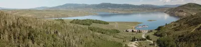
Aspen Grove (Uinta-Wasatch-Cache National Forest, UT)
Public Land · 0.3 mi · Uintah and Ouray
Soldier Creeek Campground
Campground · 1.9 mi · Independence
Soldier Creek
Public Land · 2.1 mi · Independence
3 more within 25 mi
4 OpenStreetMap entries in Uintah and Ouray share one park. They may be individual sites of a single campground. Suggest a merge
Dispersed camping nearby
Free dispersed camping within 19 mi, on public land.
- 10 mi
Camp site
Uintah and Ouray, UT · On U.S. Forest Service land · Uinta National Forest
- 11 mi
Camp site
Uintah and Ouray, UT · On U.S. Forest Service land · Uinta National Forest
- 11 mi
Camp site
Springville-Mapleton, UT · On U.S. Forest Service land · Uinta National Forest
- 11 mi
Camp site
Hobble Creek, UT · On U.S. Forest Service land · Uinta National Forest
- 11 mi
Camp site
Hobble Creek, UT · On U.S. Forest Service land · Uinta National Forest
- 13 mi
Camp site
Springville-Mapleton, UT · On U.S. Forest Service land · Uinta National Forest
Location and contact
Data from OpenStreetMap, Overture Maps Foundation — Places, USDA Forest Service — Recreation Opportunities, USFS INFRA Recreation Sites
Something wrong here? Suggest an edit
Run this campground? Claim the listing