Ashurst Lake
Mormon Lake, Arizona · 7,152 ft · In Coconino National Forest Recreation
Photos: Teri Bolton
At a glance
5 of 8 facts known · recreation.gov, checked Sep 24, 2026
- Elevation
- 7,152 ft (2,180 m)7,152 ft2,180 m
Sites25
Ashurst Lake lists no loops, so its sites are listed here. Pick a site to see its details.
- 01Standard · up to 8 people
- 02Standard · up to 8 people
- 03Standard · up to 8 people
- 04Standard · up to 8 people
- 05Standard · up to 8 people
- 06Standard · up to 8 people
- 07Standard · up to 8 people
- 08Standard · up to 8 people
- 09Standard · up to 8 people
- 10Standard · up to 8 people
Showing 10 of 25 · by site number
From recreation.gov's site list, Oct 10, 2026.
Amenities
From OpenStreetMap, Overture Maps Foundation — Places, Recreation.gov, Recreation.gov — campground rate cards, USDA Forest Service — Recreation Opportunities, USFS INFRA Recreation Sites · Correct
- Boat launch
- Campfires allowed
- Drinking water
- Toilets
From OpenStreetMap, Overture Maps Foundation — Places, Recreation.gov, Recreation.gov — campground rate cards, USDA Forest Service — Recreation Opportunities, USFS INFRA Recreation Sites
You could be the first camper hereYou could be the first camper on this page
Stayed here? Share what the next camper should know.
Free account · no email needed to browse
About
Recreation
In addition to fishing and board sailing, the lake offers excellent opportunities for birdwatching during the spring waterfowl migration. For a special treat look for white-faced ibises grazing in the shallows along with the cinnamon teal, pintails and other ducks. Bald eagles and osprey can also be seen in the area, along with a number of species of hawks and songbirds.
A graveled road to the lake and graveled road that surrounds most of the lake provides convenient access for most passenger vehicles and bicycles. Rustic gravel and “two-track” roads in the area offer some great opportunities to mountain bike or walk out into the surrounding juniper/ponderosa mixed forest for some wildlife viewing and open spaces. The San Francisco Peaks stand majestically on the horizon providing a grand display of Arizona’s volcanic past.
From OpenStreetMap, Overture Maps Foundation — Places, Recreation.gov, Recreation.gov — campground rate cards, USDA Forest Service — Recreation Opportunities, and USFS INFRA Recreation Sites · · Edit
Cell service
Report signal- Verizon4G LTE
- AT&T4G LTE
- T-Mobile5G · 4G LTE
Cell service at Ashurst Lake: FCC map Dec 2025
Weather
National Weather Service
- WedSunny, 1% chance of rain54°31°
- ThuSunny53°36°
- FriSunny, 9% chance of rain55°32°
- SatChance Rain Showers, 31% chance of rain52°34°
- SunSunny, 14% chance of rain57°36°
Nearby camping
SeeSee all on the map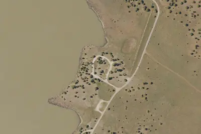
Forked Pine Campground
Public Land · 0.6 mi · Mormon Lake
Pine Grove Campground
Public Land · 3.1 mi · Mormon Lake
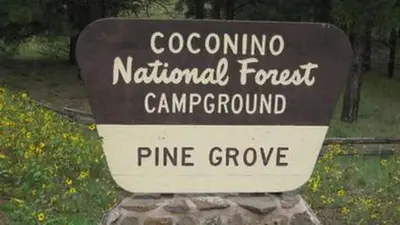
Pinegrove
Public Land · 3.2 mi · Mormon Lake
3 more within 25 mi
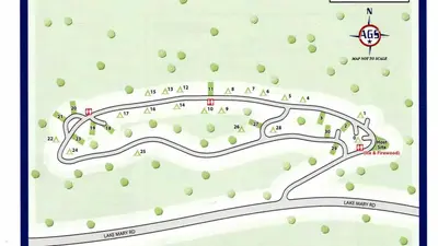
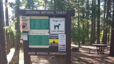
3 OpenStreetMap entries in Mormon Lake share one park. They may be individual sites of a single campground. Suggest a merge
Dispersed camping nearby
Free dispersed camping within 19 mi, on public land.
- 8.7 mi
Camp site
Mormon Lake, AZ · On U.S. Forest Service land · Coconino National Forest
- 9.3 mi
Camp site
Mormon Lake, AZ · On U.S. Forest Service land · Coconino National Forest
- 9.6 mi
Marshall Lake Dispersed Camping
Flagstaff, AZ · On U.S. Forest Service land · Coconino National Forest
- 9.6 mi
Camp site
Mormon Lake, AZ · On U.S. Forest Service land · Coconino National Forest
- 9.9 mi
Camp site
Mormon Lake, AZ · On U.S. Forest Service land · Coconino National Forest
- 9.9 mi
Camp site
Flagstaff, AZ · On U.S. Forest Service land · Coconino National Forest
Location and contact
Data from OpenStreetMap, Overture Maps Foundation — Places, Recreation Information Database (RIDB) / Recreation.gov, Recreation.gov — campground rate cards, USDA Forest Service — Recreation Opportunities, USFS INFRA Recreation Sites
Something wrong here? Suggest an edit
Run this campground? Claim the listing