Antone Cabin
Lima-Centennial Valley, Montana · 8,094 ft · In Beaverhead-Deerlodge National Forest
Photos: USFS
At a glance
5 of 8 facts known · recreation.gov, checked Sep 24, 2026
- Elevation
- 8,094 ft (2,467 m)8,094 ft2,467 m
Sites1
Antone Cabin lists no loops, so its sites are listed here. Pick a site to see its details.
All 1 shown · by site number
From recreation.gov's site list, Oct 10, 2026.
Amenities
From Recreation.gov, Recreation.gov — campground rate cards, USDA Forest Service — Recreation Opportunities · Correct
- Campfires allowed
- Toilets
From Recreation.gov, Recreation.gov — campground rate cards, USDA Forest Service — Recreation Opportunities
You could be the first camper hereYou could be the first camper on this page
Stayed here? Share what the next camper should know.
Free account · no email needed to browse
About
Overview
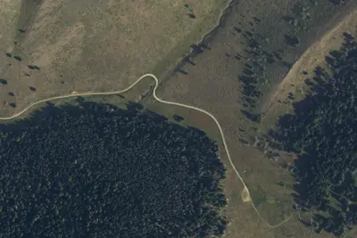
The Antone Cabin, constructed in 1929, sits in a beautiful open meadow, at the edge of a thick forest, providing visitors with a unique camping experience on the southwestern end of the Snowcrest Mountain range. With it's end of the road location, it's usually pretty quiet in the summer. The cabin opens for use on July 1and stays open until December, and it is popular throughout the rental season. The cabin is small and intended for 2 people.
In addition to hunting access, the facility provides ample opportunities for hiking, backpacking and horseback riding. The cabin lies within proposed wilderness so snowmobiling and bicycling are not permitted off the main access road, FS325. Snowmobile use, on the road, is only permitted after December 1.
From Recreation.gov, Recreation.gov — campground rate cards, and USDA Forest Service — Recreation Opportunities · · Edit
Cell service
Report signalFCC map: no coverage reported
- VerizonNo coverage on FCC map
- AT&TNo coverage on FCC map
- T-MobileNo coverage on FCC map
Cell service at Antone Cabin: FCC map Dec 2025
Weather
National Weather Service
- WedSunny40°27°
- ThuSunny46°32°
- FriSunny52°32°
- SatSunny49°33°
- SunSunny, 1% chance of rain50°34°
Nearby camping
SeeSee all on the map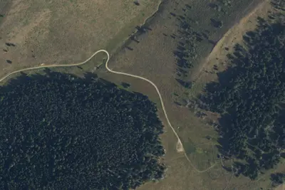
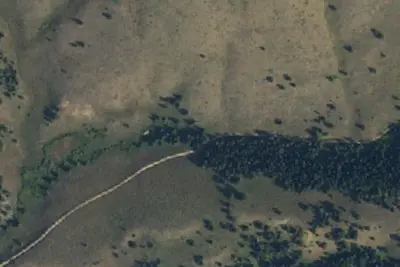
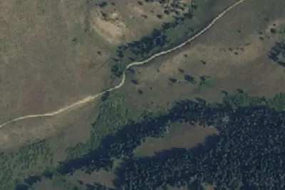
Dispersed camping nearby
Free dispersed camping within 19 mi, on public land.
Location and contact
Data from Recreation Information Database (RIDB) / Recreation.gov, Recreation.gov — campground rate cards, USDA Forest Service — Recreation Opportunities
Something wrong here? Suggest an edit
Run this campground? Claim the listing