Antelope Flat Reservoir Campground and Day Use
Crooked River, Oregon · 4,977 ft
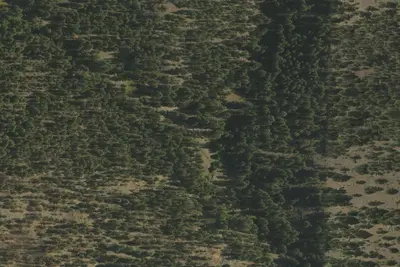
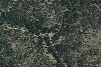
Photos: USGS / USDA NAIP
At a glance
3 of 8 facts known · Forest Service data, checked Oct 3, 2026
- Elevation
- 4,977 ft (1,517 m)4,977 ft1,517 m
- Land
- Ochoco National Forest
U.S. Forest Service
Amenities
From OpenStreetMap, USDA Forest Service — Recreation Opportunities, USFS INFRA Recreation Sites · Correct
- Drinking water
From OpenStreetMap, USDA Forest Service — Recreation Opportunities, USFS INFRA Recreation Sites
You could be the first camper hereYou could be the first camper on this page
Stayed here? Share what the next camper should know.
Free account · no email needed to browse
About
The campground is located just above the day-use area and boat ramp for Antelope Flat Reservoir and is situated among large ponderosa pines which provide a quiet and scenic setting for forest visitors. Only a few campsites provide views of the reservoir but the walk from the campground to the water 's edge takes most people less than 10 minutes. Potable drinking water is available near the south end of the campground from a standing hand pump, however, there are no hook-ups available on site. The day-use area is located right on the water's edge and is outfitted with picnic tables, fire rings, a vault bathroom, and a boat ramp. Please DO NOT park vehicles in the boat ramp loop as it can block other visitors from accessing the water. If you keep a keen eye out and a pair of binoculars on hand, large birds of prey can occasionally be seen from the day-use area nesting on the east side of the reservoir.
Fees: Overnight Use:
From OpenStreetMap, USDA Forest Service — Recreation Opportunities, and USFS INFRA Recreation Sites · · Edit
Cell service
Report signalFCC map: no coverage reported
- VerizonNo coverage on FCC map
- AT&TNo coverage on FCC map
- T-MobileNo coverage on FCC map
Cell service at Antelope Flat Reservoir Campground and Day Use: FCC map Sep 2026
Weather
National Weather Service
- WedSunny, 1% chance of rain62°35°
- ThuAreas Of Frost then Sunny67°41°
- FriSunny70°41°
- SatMostly Sunny63°32°
- SunSunny63°35°
Nearby camping
SeeSee all on the map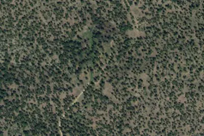
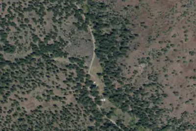
Double Cabin Campground
Public Land · 3.8 mi · Crooked River
Camp site (US Forest Service)
Dispersed · 4.1 mi · Juniper Canyon
Camp site (US Forest Service)
Dispersed · 4.2 mi · Juniper Canyon
3 more within 25 mi
6 OpenStreetMap entries in Crooked River share one park. They may be individual sites of a single campground. Suggest a merge
Dispersed camping nearby
Free dispersed camping within 19 mi, on public land.
- 4.1 mi
Camp site (US Forest Service)
Juniper Canyon, OR · On U.S. Forest Service land · Ochoco National Forest
- 4.2 mi
Camp site (US Forest Service)
Juniper Canyon, OR · On U.S. Forest Service land · Ochoco National Forest
- 4.2 mi
Camp site (US Forest Service)
Juniper Canyon, OR · On U.S. Forest Service land · Ochoco National Forest
- 4.3 mi
Camp site (US Forest Service)
Juniper Canyon, OR · On U.S. Forest Service land · Ochoco National Forest
- 4.4 mi
Camp site (US Forest Service)
Juniper Canyon, OR · On U.S. Forest Service land · Ochoco National Forest
- 4.4 mi
Camp site (US Forest Service)
Juniper Canyon, OR · On U.S. Forest Service land · Ochoco National Forest
Location and contact
Data from OpenStreetMap, USDA Forest Service — Recreation Opportunities, USFS INFRA Recreation Sites
Something wrong here? Suggest an edit
Run this campground? Claim the listing