Anna Creek Cabin
Bigfork, Montana · 3,766 ft · In Flathead National Forest
Photos: US Forest Service
At a glance
5 of 8 facts known · recreation.gov, checked Sep 24, 2026
- Elevation
- 3,766 ft (1,148 m)3,766 ft1,148 m
Sites1
Anna Creek Cabin lists no loops, so its sites are listed here. Pick a site to see its details.
All 1 shown · by site number
From recreation.gov's site list, Oct 10, 2026.
Amenities
From Recreation.gov, Recreation.gov — campground rate cards, USDA Forest Service — Recreation Opportunities · Correct
- Campfires allowed
From Recreation.gov, Recreation.gov — campground rate cards, USDA Forest Service — Recreation Opportunities
You could be the first camper hereYou could be the first camper on this page
Stayed here? Share what the next camper should know.
Free account · no email needed to browse
About
Overview
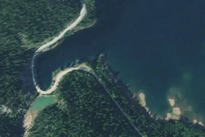
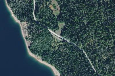
Anna Creek Cabin is located 30 miles south of the town of Hungry Horse, perched above Hungry Horse Reservoir with sweeping views of the reservoir and the Great Bear Wilderness. Winter - Access road not maintained/plowed for wheeled-vehicle travel. Plan on winter access via a 24-mile snowmobile ride or other over-the-snow vehicle on an ungroomed route. The cabin provides a private setting to enjoy the recreation opportunities along the west side of Hungry Horse Reservoir.
Recreation
Summer - The cabin location provides a base to explore the numerous recreation opportunities along the west side of Hungry Horse Reservoir. Visitors can access the water within a short drive to Graves Bay, Graves Creek or Handkerchief Lake for fishing, swimming or boating. Access to hiking trails along pioneer ridge or the east side of Jewel Basin are in close proximity to the cabin. Other popular activities such as driving for pleasure, berry picking, wildlife watching, and fishing are abundant in the area around the cabin.
From Recreation.gov, Recreation.gov — campground rate cards, and USDA Forest Service — Recreation Opportunities · · Edit
Cell service
Report signalFCC map: no coverage reported
- VerizonNo coverage on FCC map
- AT&TNo coverage on FCC map
- T-MobileNo coverage on FCC map
Cell service at Anna Creek Cabin: FCC map Dec 2025
Weather
National Weather Service
- TueSunny48°32°
- WedMostly Sunny, 4% chance of rain50°33°
- ThuSunny55°36°
- FriSunny61°42°
- SatSunny, 1% chance of rain61°37°
Nearby camping
SeeSee all on the map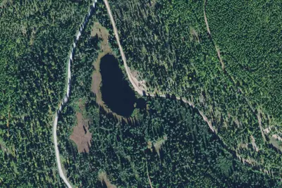
Trout Lake North
Dispersed · 1.6 mi · Essex
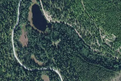
Trout Lake South
Dispersed · 1.6 mi · Essex
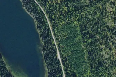
Handkerchief Lake Campground
Public Land · 2.4 mi · Bigfork
3 more within 25 mi
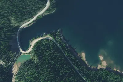
Dispersed camping nearby
Free dispersed camping within 19 mi, on public land.
- 1.6 mi
Trout Lake North
Essex, MT
- 1.6 mi
Trout Lake South
Essex, MT
- 2.8 mi
Knieff Dispersed Camp South
Essex, MT · On Bureau of Reclamation land · Hungry Horse Reservoir
- 2.8 mi
Knieff Dispersed Camp North
Essex, MT · On Bureau of Reclamation land · Hungry Horse Reservoir
- 2.8 mi
Betty Creek Pullout
Essex, MT
- 2.9 mi
Graves Creek Gate
Bigfork, MT
Location and contact
Data from Recreation Information Database (RIDB) / Recreation.gov, Recreation.gov — campground rate cards, USDA Forest Service — Recreation Opportunities
Something wrong here? Suggest an edit
Run this campground? Claim the listing