Allen Creek Horse Camp
Mitchell, Oregon · 4,820 ft
Aerial view · USGS / USDA NAIP · Public domain · source
At a glance
3 of 8 facts known · Forest Service data, checked Oct 3, 2026
- Elevation
- 4,820 ft (1,469 m)4,820 ft1,469 m
- Land
- Ochoco National Forest
U.S. Forest Service
Amenities
You could be the first camper hereYou could be the first camper on this page
Stayed here? Share what the next camper should know.
Free account · no email needed to browse
About
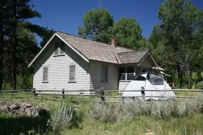
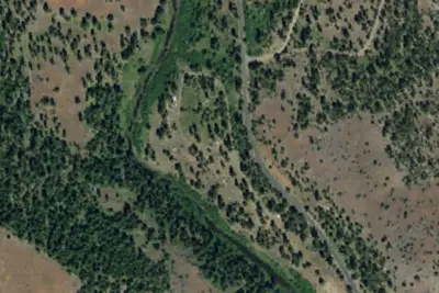
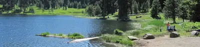
Located south of Bridge Creek Wilderness, Allen Creek Horse Camp sits among large ponderosa pine trees and along the creek that feeds Allen Creek Reservoir. There are five campsites which are currently maintained and several corrals on site. There are no manure pits at this campground so the Forest Service requests that you pack out waste from your horses. There is no water system at the camp, but a stream borders the east side of the camp from which you can water your animals. Allen Creek Reservoir is very close to the campground, though it cannot be accessed directly from the site; instead it can be accessed through BLM land just a few miles away. Learn about Leave No Trace principles of horse camping. View a map; of the Allen Creek equestrian trails.
Fees: No fees are required for this site
From OpenStreetMap and USFS INFRA Recreation Sites · Edit
Cell service
Report signal- VerizonNo coverage on FCC map
- AT&T4G LTE
- T-MobileNo coverage on FCC map
Cell service at Allen Creek Horse Camp: FCC map Dec 2025
Weather
National Weather Service
- WedMostly Sunny, 1% chance of rain62°34°
- ThuSunny68°38°
- FriSunny70°38°
- SatMostly Sunny64°31°
- SunSunny61°33°
Nearby camping
SeeSee all on the map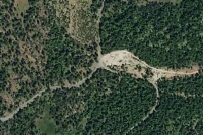
Location and contact
Data from OpenStreetMap, USFS INFRA Recreation Sites
Something wrong here? Suggest an edit
Run this campground? Claim the listing