AhDiNa Campground
McCloud, California · 2,100 ft
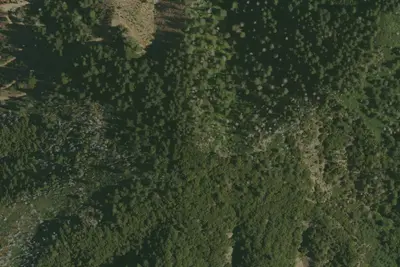
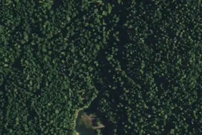
Photos: USGS / USDA NAIP
Wildfire 48 mi S: Blue, 38 acres
At a glance
3 of 8 facts known · Forest Service data, checked Oct 3, 2026
- Elevation
- 2,100 ft (640 m)2,100 ft640 m
- Land
- Shasta National Forest
U.S. Forest Service
Amenities
You could be the first camper hereYou could be the first camper on this page
Stayed here? Share what the next camper should know.
Free account · no email needed to browse
About
Located on the Lower McCloud River at an elevation of 2300 feet, this remote campground has 16 sites with tables and fire rings, flush toilets, and drinking water. The dirt access road from Lake McCloud is very rough and rocky. Low clearance vehicles, trailers, and RVs are not advised. 14 day limit. $10 per night. No reservations. Generally open May 01- November 15th. This campground is situated on an historic site used by Native American tribes and various land owners over the years, including the families of Whittier, Fitzhugh, and William Randolph Hearst. Visitors can explore and identify the remains of several buildings, foundations, rock walls, and an orchard that still produces fruit. The Lower McCloud River is a world renown native trout fishery which makes this camp a favorite for anglers. California Fish and Game regulations for this section of river allow only the use of artificial lures with barbless hooks.
Fees: Overnight Use:
From OpenStreetMap, USDA Forest Service — Recreation Opportunities, and USFS INFRA Recreation Sites · · Edit
Cell service
Report signalFCC map: no coverage reported
- VerizonNo coverage on FCC map
- AT&TNo coverage on FCC map
- T-MobileNo coverage on FCC map
Cell service at AhDiNa Campground: FCC map Dec 2025
Weather
National Weather Service
- WedSunny, 1% chance of rain80°45°
- ThuSunny83°46°
- FriSunny86°41°
- SatSunny80°41°
- SunSunny73°37°
Nearby camping
SeeSee all on the map
Ash Camp
Campground · 2.0 mi · McCloud
Camp site
Campground · 3.4 mi · McCloud
Cabin Creek campsites
Campground · 4.5 mi · Castella
3 more within 25 mi
3 OpenStreetMap entries in McCloud share one park. They may be individual sites of a single campground. Suggest a merge
Dispersed camping nearby
Free dispersed camping within 19 mi, on public land.
Location and contact
Data from OpenStreetMap, USDA Forest Service — Recreation Opportunities, USFS INFRA Recreation Sites
Something wrong here? Suggest an edit
Run this campground? Claim the listing