Acker Rock Lookout
South Umpqua, Oregon · 4,101 ft · In Umpqua National Forest
Photos: USDA Forest Service
At a glance
4 of 8 facts known · recreation.gov, checked Oct 3, 2026
- Elevation
- 4,101 ft (1,250 m)4,101 ft1,250 m
Sites1
Acker Rock Lookout lists no loops, so its sites are listed here. Pick a site to see its details.
All 1 shown · by site number
From recreation.gov's site list, Oct 10, 2026.
Amenities
From OpenStreetMap, Recreation.gov, Recreation.gov — campground rate cards · Correct
- Toilets
From OpenStreetMap, Recreation.gov, Recreation.gov — campground rate cards
You could be the first camper hereYou could be the first camper on this page
Stayed here? Share what the next camper should know.
Free account · no email needed to browse
About
Overview
Perched atop the edge of a rocky cliff in the Umpqua National Forest, Acker Rock Lookout offers visitors a unique lodging experience with spectacular panoramic views of the South Umpqua watershed in southwest Oregon. Still used in active fire detection today, the lookout was placed on the rocky cliff via helicopter in the 1960's. Before the advent of airplane surveillance for fire detection, there were more than a dozen lookouts on the Tiller Ranger District. Today Acker Rock and Pickett Butte are the only remaining lookouts on the District. The lookout tower is generally available for reservation from August 1st thru November 15th (depending on snow). High Clearance four-wheel or all-wheel drive vehicles are recommended for travel to this site, and guests must bring several of their own amenities. The lookout is not rented during the winter months due to wind and snow weight restrictions on the building. Visitors should keep in mind everything must be packed in via a moderately steep 0.4-mile hike along a forested trail to reach the lookout.
Recreation
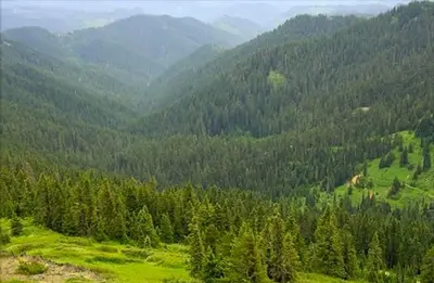
The panorama includes landmarks on the Rogue-Umpqua Divide; on a clear day you can see mountains on the Willamette, Rogue, and Deschutes River watersheds and Crater Lake Rim. Overlooking the Umpqua River and several of its tributaries, the lookout is a delightful setting for hiking, birding and wildlife viewing. Seasonal changes envelope the area as snowmelt gives rise to spring flowers and vivid autumn colors bring with it numerous recreation opportunities.
From OpenStreetMap, Recreation.gov, and Recreation.gov — campground rate cards · · Edit
Cell service
Report signal- Verizon4G LTE
- AT&TNo coverage on FCC map
- T-MobileNo coverage on FCC map
Cell service at Acker Rock Lookout: FCC map Dec 2025
Weather
National Weather Service
- WedSunny, 3% chance of rain77°45°
- ThuSunny87°46°
- FriSunny88°45°
- SatMostly Sunny72°41°
- SunMostly Sunny, 1% chance of rain70°40°
Nearby camping
SeeSee all on the map
Buckhead Mountain
Public Land · 2.0 mi · South Umpqua
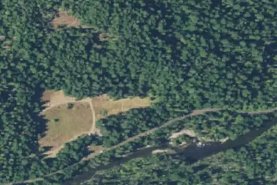
South Umpqua Falls Campground
Public Land · 2.2 mi · South Umpqua
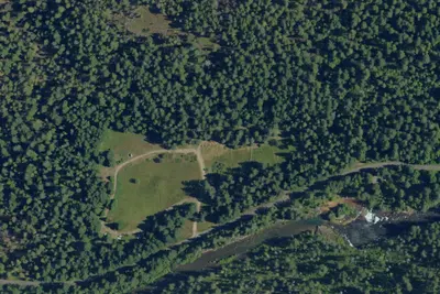
South Umpqua Falls Group
Campground · 2.2 mi · South Umpqua
3 more within 25 mi
4 OpenStreetMap entries in South Umpqua share one park. They may be individual sites of a single campground. Suggest a merge
Dispersed camping nearby
Free dispersed camping within 19 mi, on public land.
Location and contact
Data from OpenStreetMap, Recreation Information Database (RIDB) / Recreation.gov, Recreation.gov — campground rate cards
Something wrong here? Suggest an edit
Run this campground? Claim the listing