Individual sites — Campgrounds in Utah
Showing 241–264 of 617.
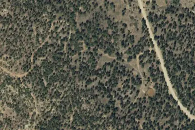
USGS / USDA NAIP
Camp siteManti-La Sal National ForestNear Blanding · 7,503 ft
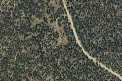
USGS / USDA NAIP
Camp siteManti-La Sal National ForestNear Blanding · 7,474 ft
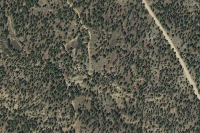
USGS / USDA NAIP
Camp siteManti-La Sal National ForestNear Blanding · 7,713 ft
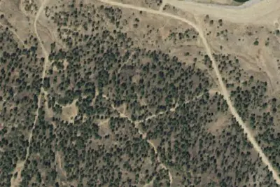
USGS / USDA NAIP
Camp siteManti-La Sal National ForestNear Blanding · 7,743 ft
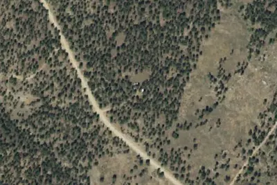
USGS / USDA NAIP
Camp siteManti-La Sal National ForestNear Blanding · 7,595 ft
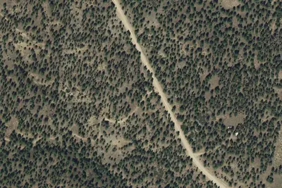
USGS / USDA NAIP
Camp siteManti-La Sal National ForestNear Blanding · 7,641 ft
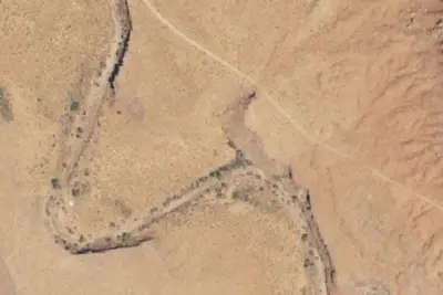
USGS / USDA NAIP
Camp siteMonticello Field OfficeNear Mexican Hat · 4,751 ft
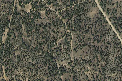
USGS / USDA NAIP
Camp siteManti-La Sal National ForestNear Blanding · 7,736 ft
USGS / USDA NAIP
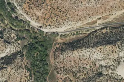
Camp siteMonticello Field OfficeNear Monticello · 6,175 ft
USGS / USDA NAIP
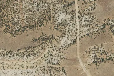
Camp siteMonticello Field OfficeNear Monticello · 6,739 ft
USGS / USDA NAIP
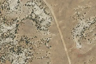
Camp siteMonticello Field OfficeNear Monticello · 6,680 ft
USGS / USDA NAIP
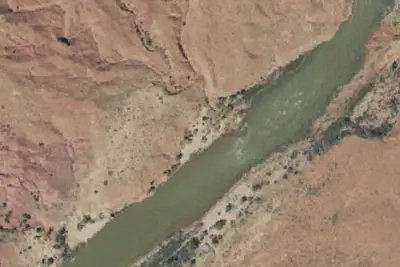
Camp siteThe State of Utah Forrest, Fire and State Lands; Sovereign Lands 14Near Castle Valley · 4,072 ft
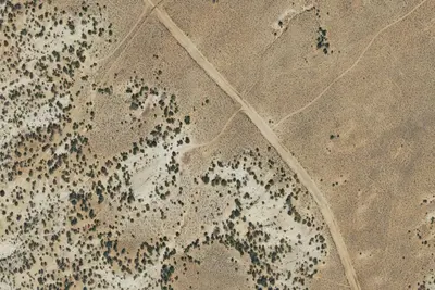
USGS / USDA NAIP
Camp siteMonticello Field OfficeNear Monticello · 6,647 ft
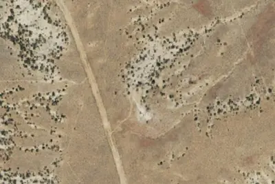
USGS / USDA NAIP
Camp siteMonticello Field OfficeNear Monticello · 6,716 ft
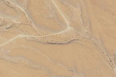
USGS / USDA NAIP
Camp siteMonticello Field OfficeNear Mexican Hat · 4,665 ft
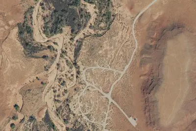
USGS / USDA NAIP
Camp siteMonticello Field OfficeNear Monticello · 4,925 ft
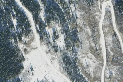
USGS / USDA NAIP
Camp siteManti-La Sal National ForestNear Ephraim · 8,898 ft
USGS / USDA NAIP
Camp siteWasatch National ForestNear Alta · 9,541 ft
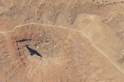
USGS / USDA NAIP
Camp siteMonticello Field OfficeNear Mexican Hat · 5,108 ft
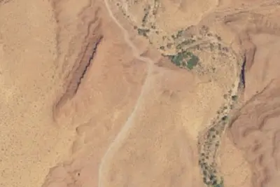
USGS / USDA NAIP
Camp siteMonticello Field OfficeNear Mexican Hat · 4,521 ft
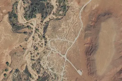
USGS / USDA NAIP
Camp siteMonticello Field OfficeNear Monticello · 4,925 ft
USGS / USDA NAIP
Camp siteMonticello Field OfficeNear Mexican Hat · 4,596 ft
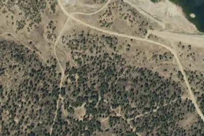
USGS / USDA NAIP
Camp siteManti-La Sal National ForestNear Blanding · 7,756 ft
USGS / USDA NAIP
Camp siteMonticello Field OfficeNear Mexican Hat · 4,849 ft